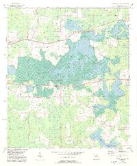
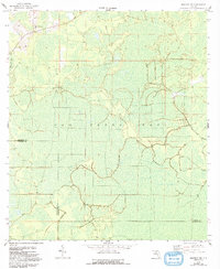
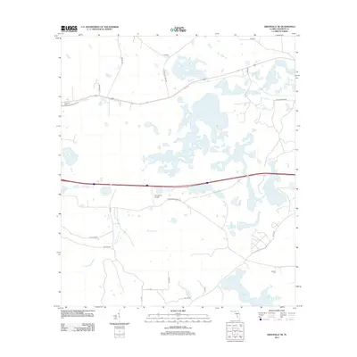
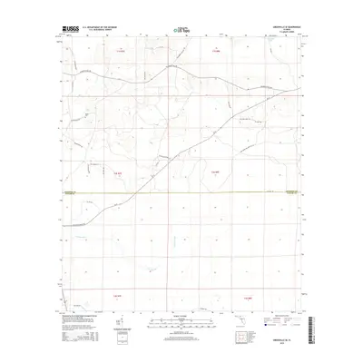
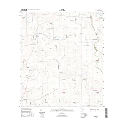
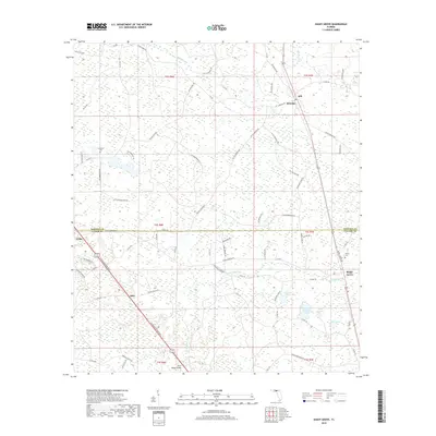
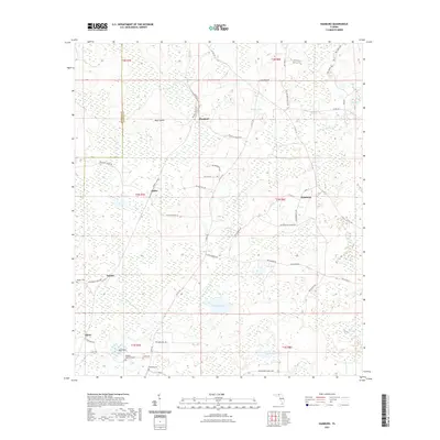
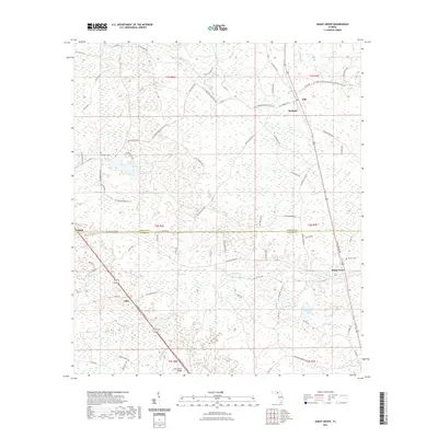
1960 Map of Pinetta
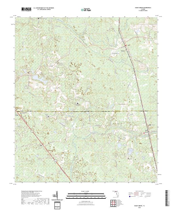
USGS Topo · Published 1993About this map
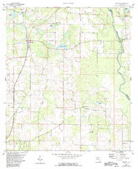
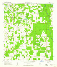
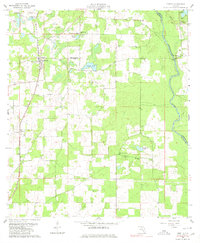
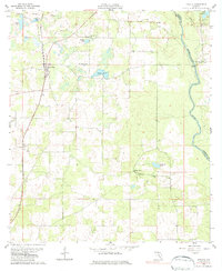
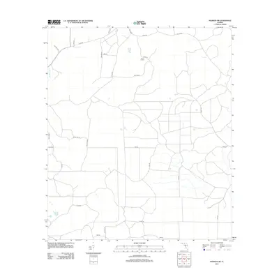
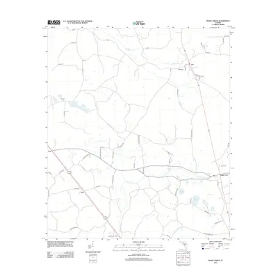
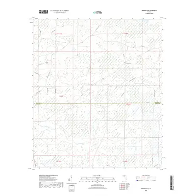
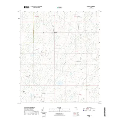
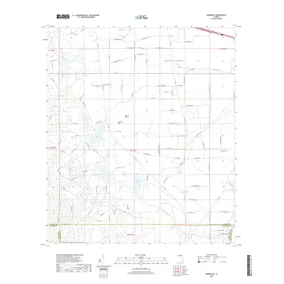
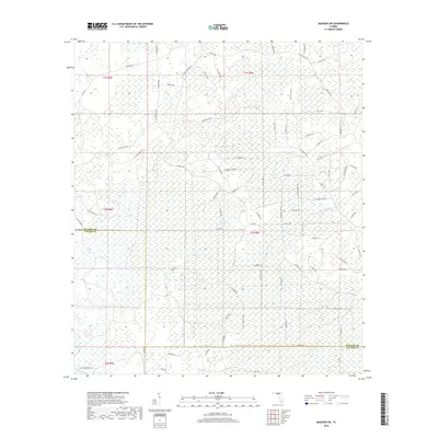
The Withlacoochee River carves the eastern boundary of this landscape, separating Madison and Hamilton counties as it winds through northern Florida. In the early 1960s, the rural community of Pinetta serves as the primary hub, surrounded by a network of smaller locales such as Leland and Hanson. The settlement pattern is defined by several local congregations, including Mt Horeb Ch, New Mt Moriah Ch, and Hickory Grove Ch, which often anchored neighborhood life. To the east, near the river, the village of Bellville and the nearby Bell Cem mark an area of early regional significance. The terrain is dotted with numerous bodies of water, from the larger Grassy Pond and Langford Pond to the smaller Smiths Pond and Butler Lake, alongside the prominent Gibson Lookout Tower.
Find a feature on this map
19 named features on this map. Tap any name to fly to it.
Don’t see what you’re looking for? This feature index may not catch every label — zoom into the map to look around manually.
Map Details
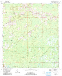
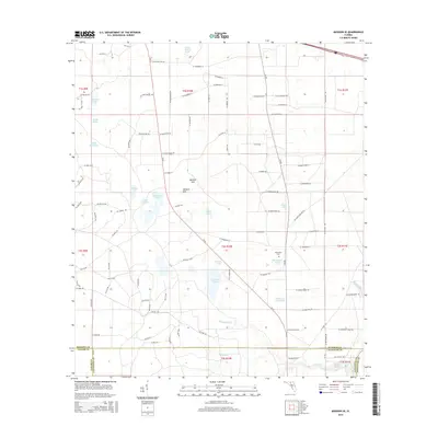
Editions of this 1960 Pinetta Map
4 editions found
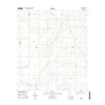
Historical Maps of Leland Through Time
48 maps found
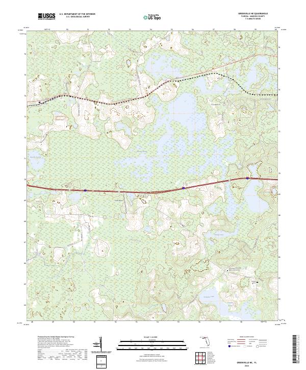
1954 Greenville NE
Madison County, FL
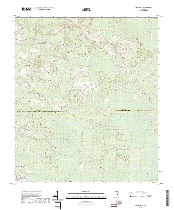
1955 Greenville SE
Madison County, FL
1955 Shady Grove
Madison County, FL
1958 Madison SE
Madison County, FL
1958 Madison SW
Madison County, FL
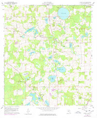
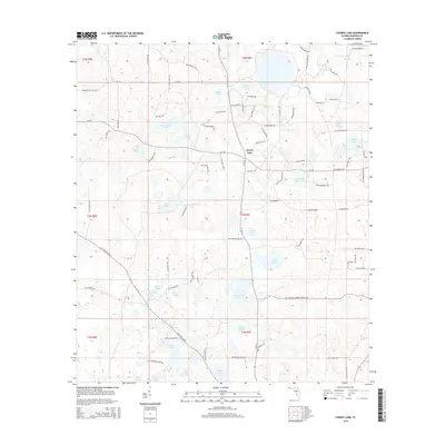
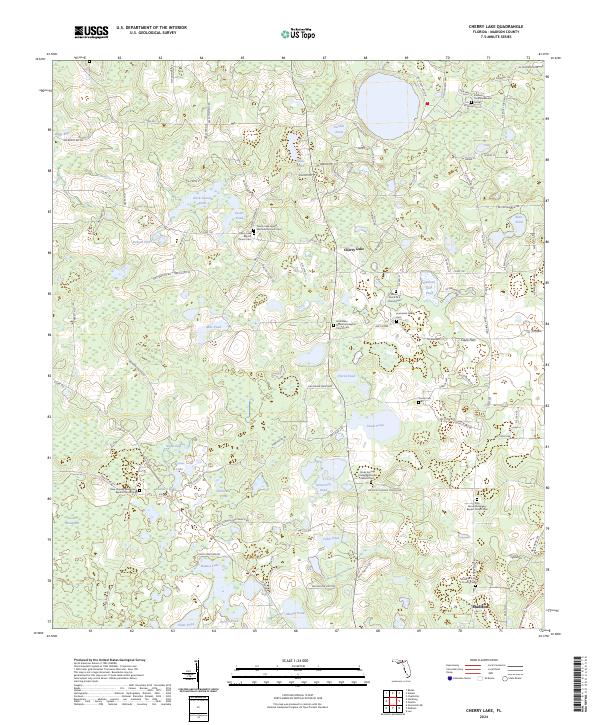
1960 Cherry Lake
Madison County, FL
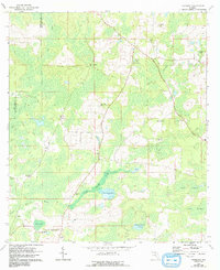
1960 Pinetta
Madison County, FL
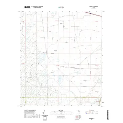
1962 Hamburg
Madison County, FL
2012 Cherry Lake
Madison County, FL
2012 Greenville NE
Madison County, FL
2012 Greenville SE
Madison County, FL
2012 Hamburg
Madison County, FL
2012 Madison SE
Madison County, FL
2012 Madison SW
Madison County, FL

2012 Pinetta
Madison County, FL
2012 Shady Grove
Madison County, FL
2015 Cherry Lake
Madison County, FL
2015 Greenville NE
Madison County, FL
2015 Greenville SE
Madison County, FL
2015 Hamburg
Madison County, FL
2015 Madison SE
Madison County, FL
2015 Madison SW
Madison County, FL
2015 Pinetta
Madison County, FL
2015 Shady Grove
Madison County, FL
2018 Cherry Lake
Madison County, FL
2018 Greenville NE
Madison County, FL
2018 Greenville SE
Madison County, FL
2018 Hamburg
Madison County, FL
2018 Madison SE
Madison County, FL
2018 Madison SW
Madison County, FL

2018 Pinetta
Madison County, FL
2018 Shady Grove
Madison County, FL
2021 Cherry Lake
Madison County, FL
2021 Greenville NE
Madison County, FL
2021 Greenville SE
Madison County, FL
2021 Hamburg
Madison County, FL
2021 Madison SE
Madison County, FL
2021 Madison SW
Madison County, FL
2021 Pinetta
Madison County, FL
2021 Shady Grove
Madison County, FL
2024 Cherry Lake
Madison County, FL
2024 Greenville NE
Madison County, FL
2024 Greenville SE
Madison County, FL
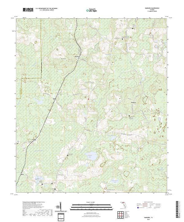
2024 Hamburg
Madison County, FL
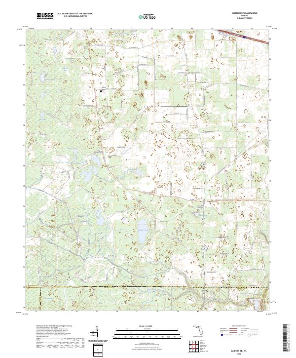
2024 Madison SE
Madison County, FL
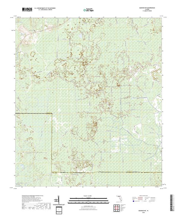
2024 Madison SW
Madison County, FL
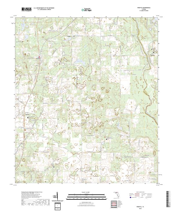
2024 Pinetta
Madison County, FL
2024 Shady Grove
Madison County, FL