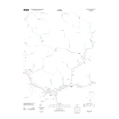
2013 Map of Pineville
USGS Topo · Published 2013About this map
The Cumberland River winds through the heart of this terrain, anchoring the settlement of Pineville and its neighboring communities in the early 21st century. The map reveals a dense network of valley settlements, including Wallsend, Straight Creek, and Arjay, connected by narrow roads that follow the winding paths of Fourmile Cr and Straight Cr. The topography is defined by significant heights like Dorton Hill and the distinctive Chain Rock formation, while the Bird Branch Lookout Tower stands as a sentinel over the eastern hills. This survey is particularly useful for genealogists, as it identifies numerous local burial sites such as Wallsend Cem, Red Hill Cem, Henderson Cem, and Liberty Cem. The arrangement of places like Dorton Branch and Keenox reflects a landscape deeply tied to the natural corridors of the Appalachian coal country, where every branch and hollow carries a family or geographical name.
Find a feature on this map
103 named features on this map. Tap any name to fly to it.
Don’t see what you’re looking for? This feature index may not catch every label — zoom into the map to look around manually.
Map Details
Editions of this 2013 Pineville Map
This is the sole edition of this map. No revisions or reprints were ever made.
Other maps of this area

1886 · Cumberland Gap
USGS Topo · 1:125,000

1888 · Cumberland Gap
USGS Topo · 1:125,000

1891 · Cumberland Gap
USGS Topo · 1:125,000

1903 · Pineville
USGS Topo · 1:48,000

1903 · Middlesboro
USGS Topo · 1:48,000

1927 · Middlesboro
USGS Topo · 1:62,500

1930 · Middlesboro
USGS Topo · 1:62,500

1935 · Varilla
USGS Topo · 1:24,000

1952 · Fount
USGS Topo · 1:24,000
1952 · Artemus
USGS Topo · 1:24,000