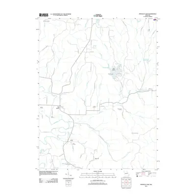
2012 Map of Pinnacle Lake
USGS Topo · Published 2012About this map
Pinnacle Lake sits at the heart of this Missouri landscape, surrounded by a complex network of creeks and branches including Pinnacle Creek and Bear Creek. The terrain is characterized by named points of interest like The Pinnacle and Mary White Hollow, reflecting a topography deeply carved by the Loutre River and its tributaries. The settlement of Big Spring serves as a local focal point, while High Hill Camp is situated to the northeast.
Find a feature on this map
71 named features on this map. Tap any name to fly to it.
Don’t see what you’re looking for? This feature index may not catch every label — zoom into the map to look around manually.
Map Details
Editions of this 2012 Pinnacle Lake Map
This is the sole edition of this map. No revisions or reprints were ever made.
Other maps of this area

1890 · Hermann
USGS Topo · 1:125,000

1890 · Fulton
USGS Topo · 1:125,000

1935 · Morrison
USGS Topo · 1:48,000

1936 · Hermann
USGS Topo · 1:48,000

1940 · Montgomery City
USGS Topo · 1:62,500

1942 · Montgomery City
USGS Topo · 1:62,500

1942 · Morrison
USGS Topo · 1:62,500

1942 · Hermann
USGS Topo · 1:62,500

1942 · New Florence
USGS Topo · 1:62,500

1945 · Hermann
USGS Topo · 1:62,500