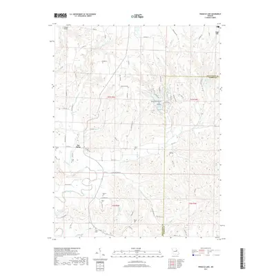
2017 Map of Pinnacle Lake
USGS Topo · Published 2017About this map
Big Spring and the surrounding rural landscapes of Montgomery and Warren counties define this portion of the Missouri countryside. The winding Loutre River and its numerous tributaries, such as Bear Cr and Whippoorwill Cr, carve a complex drainage pattern through the terrain. This 2017 survey reveals a deeply rooted community structure, evidenced by the high density of small family and community burial grounds including Snethen Cem, Bedford Cem, and Pleasant View Cem.
Find a feature on this map
78 named features on this map. Tap any name to fly to it.
Don’t see what you’re looking for? This feature index may not catch every label — zoom into the map to look around manually.
Map Details
Editions of this 2017 Pinnacle Lake Map
This is the sole edition of this map. No revisions or reprints were ever made.
Other maps of this area

1890 · Hermann
USGS Topo · 1:125,000

1890 · Fulton
USGS Topo · 1:125,000

1935 · Morrison
USGS Topo · 1:48,000

1936 · Hermann
USGS Topo · 1:48,000

1940 · Montgomery City
USGS Topo · 1:62,500

1942 · Montgomery City
USGS Topo · 1:62,500

1942 · Morrison
USGS Topo · 1:62,500

1942 · Hermann
USGS Topo · 1:62,500

1942 · New Florence
USGS Topo · 1:62,500

1945 · Hermann
USGS Topo · 1:62,500