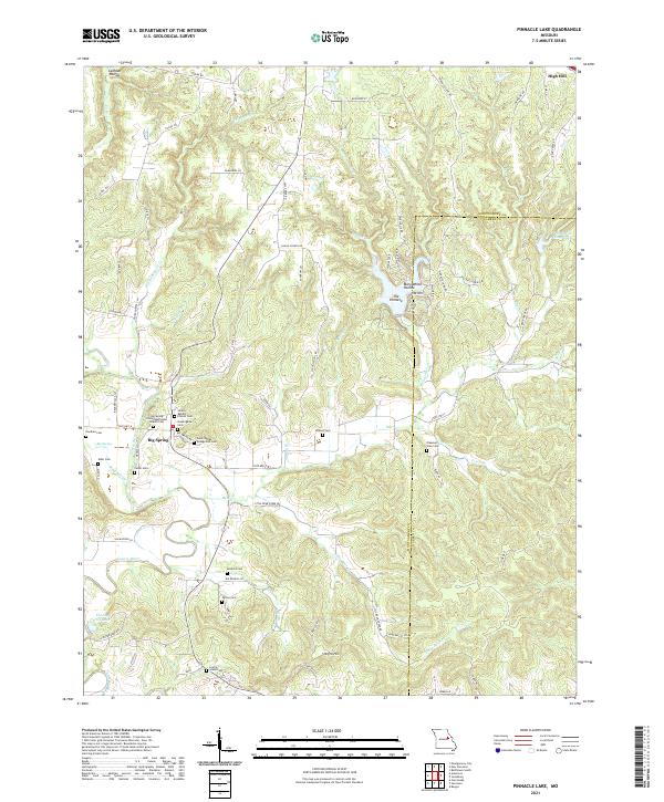
2021 Map of Pinnacle Lake
USGS Topo · Published 2021About this map
Big Spring and its surrounding rural community serve as a focal point for this section of Missouri, where the Loutre River and its numerous tributaries like Whippoorwill Cr have carved a landscape of significant relief. The area is marked by a deep-seated genealogy, evidenced by the high density of family-named burial sites including the Niedergerke Cem, Snethen Cem, and Patton Cem. These locations, often situated near country churches like the Liberty Baptist Church, provide critical data points for researchers tracing the early settlement patterns of Montgomery County.
Find a feature on this map
83 named features on this map. Tap any name to fly to it.
Don’t see what you’re looking for? This feature index may not catch every label — zoom into the map to look around manually.
Map Details
Editions of this 2021 Pinnacle Lake Map
This is the sole edition of this map. No revisions or reprints were ever made.
Other maps of this area

1890 · Hermann
USGS Topo · 1:125,000

1890 · Fulton
USGS Topo · 1:125,000

1935 · Morrison
USGS Topo · 1:48,000

1936 · Hermann
USGS Topo · 1:48,000

1940 · Montgomery City
USGS Topo · 1:62,500

1942 · Montgomery City
USGS Topo · 1:62,500

1942 · Morrison
USGS Topo · 1:62,500

1942 · Hermann
USGS Topo · 1:62,500

1942 · New Florence
USGS Topo · 1:62,500

1945 · Hermann
USGS Topo · 1:62,500