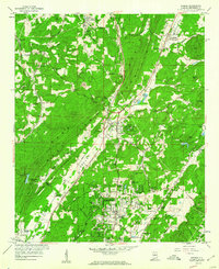
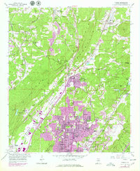
1959 Map of Pinson
USGS Topo · Published 1960About this map
Red Mountain and the prominent West Ridge anchor this landscape, creating a series of parallel valleys where industry and early suburban growth converged in the late 1950s. The Louisville and Nashville RR follows the narrow corridor of Possum Valley, serving established communities like Pinson (Mt Pinson Sta) and Palmerdale (Palmers Sta). This era marks a significant expansion of residential developments such as Holiday Park Estates, Fernwood Estates, and Bridlewood Forest Estates, which began to transform the traditional agricultural and mining character of the area.
Find a feature on this map
68 named features on this map. Tap any name to fly to it.
Don’t see what you’re looking for? This feature index may not catch every label — zoom into the map to look around manually.
Map Details
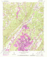
Editions of this 1959 Pinson Map
6 editions found
Other maps of this area

1889 · Birmingham
USGS Topo · 1:125,000

1892 · Birmingham
USGS Topo · 1:125,000

1895 · Birmingham
USGS Topo · 1:125,000

1904 · Birmingham Coal District
USGS Topo · 1:62,500

1905 · Leeds
USGS Topo · 1:62,500

1906 · Birmingham Special
USGS Topo · 1:62,500

1907 · Birmingham
USGS Topo · 1:125,000

1907 · Leeds
USGS Topo · 1:62,500

1951 · Warrior
USGS Topo · 1:24,000

1953 · Birmingham
USGS Topo · 1:250,000