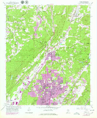
1959 Map of Pinson
USGS Topo · Published 1979About this map
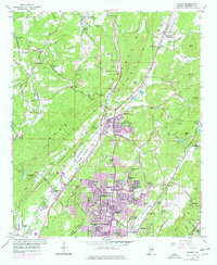
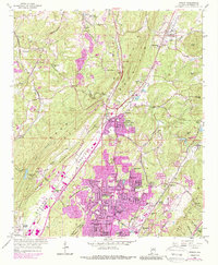
Turkey Creek winds through the heart of Jefferson County, dividing the prominent Sand Mountain from the residential expansion emerging in the Possum Valley. This era records a significant period of suburban growth, particularly around Center Point, where numerous new developments like Woodaire Estates and Bridlewood Forest Estates appear alongside established landmarks such as the Drive-in Theater. To the north, the landscape retains a more rural character defined by the Louisville And Nashville railroad line, which connects historic stations at Pinson (Mt Pinson Sta) and Palmerdale (Palmers Sta). Longstanding community centers like Oak Grove Ch and Bradford Sch stand near industry sites like the local Gravel Pit, illustrating the transition from a resource-based economy to a residential hub. The narrow gap known as The Narrows provides a topographic bottleneck between the ridges, highlighting the geological constraints that shaped early transit and settlement patterns.
Find a feature on this map
75 named features on this map. Tap any name to fly to it.
Don’t see what you’re looking for? This feature index may not catch every label — zoom into the map to look around manually.
Map Details
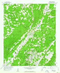
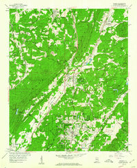
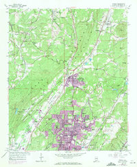
Editions of this 1959 Pinson Map
6 editions found
Other maps of this area

1889 · Birmingham
USGS Topo · 1:125,000

1892 · Birmingham
USGS Topo · 1:125,000

1895 · Birmingham
USGS Topo · 1:125,000

1904 · Birmingham Coal District
USGS Topo · 1:62,500

1905 · Leeds
USGS Topo · 1:62,500

1906 · Birmingham Special
USGS Topo · 1:62,500

1907 · Birmingham
USGS Topo · 1:125,000

1907 · Leeds
USGS Topo · 1:62,500

1951 · Warrior
USGS Topo · 1:24,000

1953 · Birmingham
USGS Topo · 1:250,000