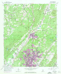
1959 Map of Pinson
USGS Topo · Published 1971About this map
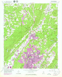
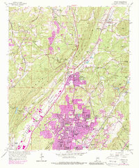
Turkey Creek and its many forks wind through a landscape defined by the parallel ridges of Sand Mountain and Red Mountain during this mid-century period. The map documents the rapid suburban transformation of Jefferson County, as the older village of Pinson and rural settlements like Bradford and Palmerdale are joined by modern residential developments. Extensive purple tinting highlights the expansion of Center Point, revealing the growth of neighborhoods like Sun Valley, Bridlewood Forest Estates, and Larkwood across what was once open valley land.
Find a feature on this map
69 named features on this map. Tap any name to fly to it.
Don’t see what you’re looking for? This feature index may not catch every label — zoom into the map to look around manually.
Map Details
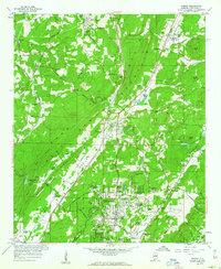
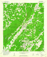
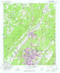
Editions of this 1959 Pinson Map
6 editions found
Other maps of this area

1889 · Birmingham
USGS Topo · 1:125,000

1892 · Birmingham
USGS Topo · 1:125,000

1895 · Birmingham
USGS Topo · 1:125,000

1904 · Birmingham Coal District
USGS Topo · 1:62,500

1905 · Leeds
USGS Topo · 1:62,500

1906 · Birmingham Special
USGS Topo · 1:62,500

1907 · Birmingham
USGS Topo · 1:125,000

1907 · Leeds
USGS Topo · 1:62,500

1951 · Warrior
USGS Topo · 1:24,000

1953 · Birmingham
USGS Topo · 1:250,000