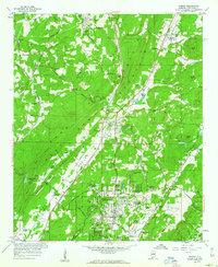
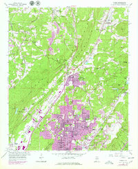
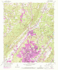
1959 Map of Pinson
USGS Topo · Published 1960About this map
The Louisville And Nashville railroad defines the industrial and residential corridor of this Jefferson County area, running through the heart of Possum Valley and connecting settlements like Pinson and Palmerdale. In the southern portion of the map, the post-war suburban expansion of Center Point is evident through dozens of named subdivisions including Bridlewood Forest Estates, Fernwood Estates, and Holiday Park Estates. This residential growth contrasts with the extractive landscape found further north and west, where several mines, gravel pits, and a strip mine are located near Bradford.
Find a feature on this map
78 named features on this map. Tap any name to fly to it.
Don’t see what you’re looking for? This feature index may not catch every label — zoom into the map to look around manually.
Map Details
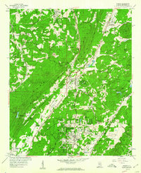
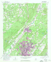
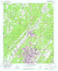
Editions of this 1959 Pinson Map
6 editions found
Other maps of this area

1889 · Birmingham
USGS Topo · 1:125,000

1892 · Birmingham
USGS Topo · 1:125,000

1895 · Birmingham
USGS Topo · 1:125,000

1904 · Birmingham Coal District
USGS Topo · 1:62,500

1905 · Leeds
USGS Topo · 1:62,500

1906 · Birmingham Special
USGS Topo · 1:62,500

1907 · Birmingham
USGS Topo · 1:125,000

1907 · Leeds
USGS Topo · 1:62,500

1951 · Warrior
USGS Topo · 1:24,000

1953 · Birmingham
USGS Topo · 1:250,000