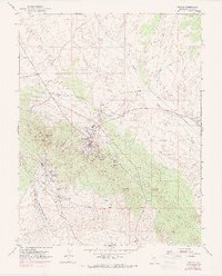
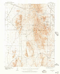
1953 Map of Pioche
USGS Topo · Published 1990About this map
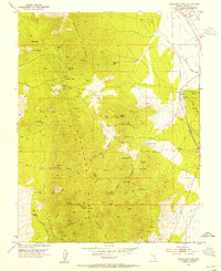
Pioche sits at the heart of this mid-century Nevada landscape, surrounded by the intense industrial footprint of the silver and lead mining era. The terrain is deeply marked by subsurface exploration, with an intricate network of shafts and tunnels including the Pacific Tunnel, Raymond Ely Extension Mine, and the Centennial Shaft. The proximity of Caselton and Caselton Heights to these workings illustrates the close-knit relationship between the local workforce and the extractive economy of the Pioche Hills.
Find a feature on this map
42 named features on this map. Tap any name to fly to it.
Don’t see what you’re looking for? This feature index may not catch every label — zoom into the map to look around manually.
Map Details
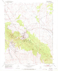
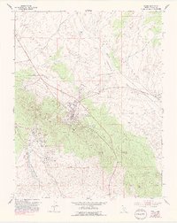
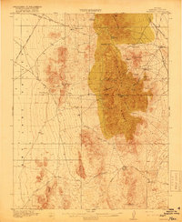
Editions of this 1953 Pioche Map
4 editions found
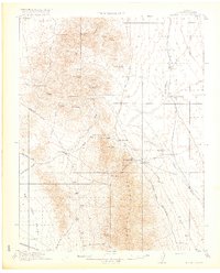
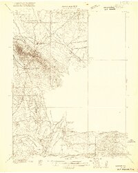
Other maps of this area

1885 · Pioche
USGS Topo · 1:250,000

1886 · Pioche
USGS Topo · 1:250,000
1915 · Bristol Range
USGS Topo · 1:62,500
1916 · Highland
USGS Topo · 1:62,500
1917 · Bristol Range
USGS Topo · 1:62,500
1918 · Highland
USGS Topo · 1:62,500
1921 · NW 1/4 Panaca
USGS Topo · 1:48,000
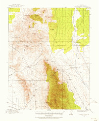
1953 · Highland Peak
USGS Topo · 1:24,000
1953 · Bristol Range SE
USGS Topo · 1:24,000

1953 · Pioche
USGS Topo · 1:24,000