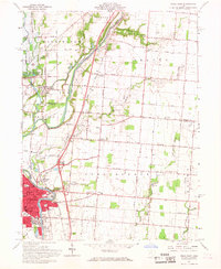
1961 Map of Piqua East
USGS Topo · Published 1968About this map
Industrial and agricultural life in the Miami River valley centers on the bustling hub of Piqua at the start of the 1960s. The city's core is dense with civic infrastructure, including the Armory, Library, and Post Office, alongside educational landmarks like Bennett Jr High Sch and Piqua High Sch. To the north, the Miami Conservancy District (Lockington Reserve) and the Baltimore and Ohio railroad corridor illustrate the regional focus on water management and transportation. Rural life in the surrounding Washington, Orange, and Springcreek townships is anchored by local landmarks such as Orange Chapel and several community burial grounds including Beechwood Cem and Cecil Cem. Small settlements like Kirkwood and Rossville dot the landscape, connected by an established network of roads such as Hetzler Road and Snodgrass Road, while a Quarry and Gravel Pit suggest the ongoing local extraction industry.
Find a feature on this map
53 named features on this map. Tap any name to fly to it.
Don’t see what you’re looking for? This feature index may not catch every label — zoom into the map to look around manually.
Map Details
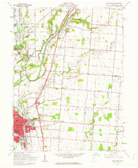
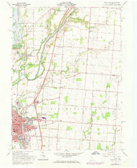
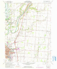
Editions of this 1961 Piqua East Map
4 editions found
Other maps of this area

1909 · Loramie
USGS Topo · 1:62,500

1911 · Loramie
USGS Topo · 1:62,500

1911 · Covington
USGS Topo · 1:62,500

1913 · Sidney
USGS Topo · 1:62,500

1914 · Troy
USGS Topo · 1:62,500

1944 · Covington
USGS Topo · 1:62,500

1944 · Sidney
USGS Topo · 1:62,500

1944 · Loramie
USGS Topo · 1:62,500

1944 · Troy
USGS Topo · 1:62,500

1953 · Muncie
USGS Topo · 1:250,000