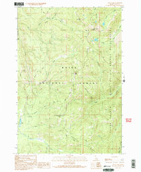
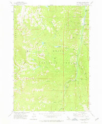
1990 Map of Pistol Lake
USGS Topo · Published 1991About this map
Pistol Lake and the high elevations of the Boise National Forest dominate this backcountry survey of Valley County, Idaho. The landscape is defined by the headwaters of numerous drainages, including Pistol Creek, Little Pistol Creek, and East Fork Burntlog Creek, which flow through the protected Frank Church Return of No Return Wilderness. Human presence is minimal, marked primarily by isolated structures like the Snowshoe Cabin and high-altitude transit routes such as the Mc Clure Trail and the Summit Trail. This 1990 map illustrates a region managed for wilderness preservation, where prominent landforms like Little Baldy, Lake Mountain, and the long reach of Artillery Ridge dictate the movement of both water and travelers. The mapping of Snowshoe Summit and various benchmarks, such as BM 7935, provides precise data for a terrain that remains largely undeveloped and wild.
Find a feature on this map
41 named features on this map. Tap any name to fly to it.
Don’t see what you’re looking for? This feature index may not catch every label — zoom into the map to look around manually.
Map Details
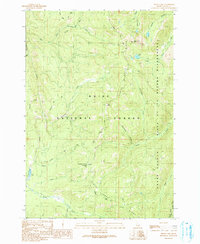
Editions of this 1990 Pistol Lake Map
2 editions found
Other maps of this area

1937 · Yellow Pine
USGS Topo · 1:48,000

1943 · Yellow Pine
USGS Topo · 1:62,500

1954 · Warm Lake
USGS Topo · 1:62,500

1957 · Challis
USGS Topo · 1:250,000

1960 · Challis
USGS Topo · 1:250,000

1961 · Chinook Mtn
USGS Topo · 1:62,500

1963 · Challis
USGS Topo · 1:250,000
1973 · Big Chief Creek
USGS Topo · 1:24,000
1973 · Chilcoot Peak
USGS Topo · 1:24,000
1973 · Log Mountain
USGS Topo · 1:24,000