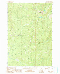
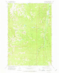
1990 Map of Pistol Lake
USGS Topo · Published 1991About this map
Snowshoe Cabin sits at the base of Snowshoe Summit, providing a rare point of human habitation in a high-elevation landscape defined by the intersection of the Boise National Forest and the Frank Church - River of No Return Wilderness. The topography is dominated by the drainage systems of Pistol Creek and Burntlog Creek, which carve deep valleys between massive formations like Lake Mountain and Burntlog Ridge. A network of historic paths, including the Mc Clure Trail (Pack) and various other labeled Pack Trails, indicates the area's primary reliance on primitive travel during this era. Scattered mountain lakes such as Pistol Lake, Little Pistol Lake, and Mud Lake serve as distinct landmarks for navigators and foresters in this roadless backcountry.
Find a feature on this map
36 named features on this map. Tap any name to fly to it.
Don’t see what you’re looking for? This feature index may not catch every label — zoom into the map to look around manually.
Map Details
Editions of this 1990 Pistol Lake Map
2 editions found
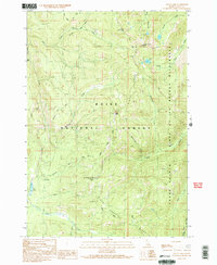
Other maps of this area

1937 · Yellow Pine
USGS Topo · 1:48,000

1943 · Yellow Pine
USGS Topo · 1:62,500

1954 · Warm Lake
USGS Topo · 1:62,500

1957 · Challis
USGS Topo · 1:250,000

1960 · Challis
USGS Topo · 1:250,000

1961 · Chinook Mtn
USGS Topo · 1:62,500

1963 · Challis
USGS Topo · 1:250,000
1973 · Big Chief Creek
USGS Topo · 1:24,000
1973 · Chilcoot Peak
USGS Topo · 1:24,000
1973 · Log Mountain
USGS Topo · 1:24,000