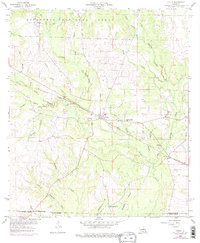
1959 Map of Pitkin
USGS Topo · Published 1976About this map
Pitkin serves as the central hub for this late 1950s survey, situated along the Atchison Topeka and Santa Fe railroad corridor. The landscape is defined by the dense forest of the Kisatchie National Forest in the north and the complex drainage systems of Sixmile Creek and Little Creek. This map illustrates a rural Louisiana economy transitioning between the old logging settlements, like Fullerton, and the persistent agricultural and religious communities of the mid-20th century. Local landmarks such as Mount Olive Ch and Simmons Mill Ch provide essential points of reference for genealogists tracing family roots in this corner of Vernon Parish. The presence of the Mathis Cem and smaller settlements like Dido underscores the historical settlement patterns along the many branches and creeks, including Blue Creek and Soapstone Creek, which crisscross the region.
Find a feature on this map
29 named features on this map. Tap any name to fly to it.
Don’t see what you’re looking for? This feature index may not catch every label — zoom into the map to look around manually.
Map Details
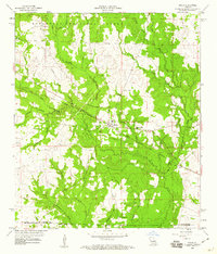
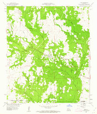
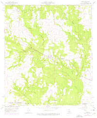
Editions of this 1959 Pitkin Map
4 editions found
Other maps of this area

1941 · Slagle
USGS Topo · 1:62,500

1943 · Leander
USGS Topo · 1:62,500

1944 · Slagle
USGS Topo · 1:62,500

1947 · Steep Gully
USGS Topo · 1:31,680

1947 · Elizabeth
USGS Topo · 1:31,680

1947 · Grant
USGS Topo · 1:31,680

1947 · Sugartown
USGS Topo · 1:31,680

1947 · Sugrue
USGS Topo · 1:31,680

1947 · Pitkin
USGS Topo · 1:31,680

1948 · Grant
USGS Topo · 1:24,000