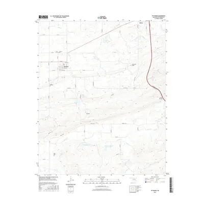
2016 Map of Pittsburg
USGS Topo · Published 2016About this map
Pittsburg and the nearby community of Blanco anchor this 2016 study of southeastern Oklahoma, where the landscape transitions from the developed corridors of the Turnpike to the relief of Limestone Ridge. The area is marked by numerous historic burial grounds, including Pittsburg Cem, Calvary Cem, and the more isolated Union Chapel Cem to the south. These sites, along with Pleasant Valley Cem, provide essential anchor points for genealogical research in this part of the county.
Find a feature on this map
48 named features on this map. Tap any name to fly to it.
Don’t see what you’re looking for? This feature index may not catch every label — zoom into the map to look around manually.
Map Details
Editions of this 2016 Pittsburg Map
This is the sole edition of this map. No revisions or reprints were ever made.
Other maps of this area

1898 · McAlester
USGS Topo · 1:125,000

1909 · Mc Alester
USGS Topo · 1:125,000

1950 · Mcalester
USGS Topo · 1:250,000

1957 · Limestone Gap
USGS Topo · 1:24,000

1962 · McAlester
USGS Topo · 1:250,000

1965 · McAlester
USGS Topo · 1:250,000

1967 · Pittsburg
USGS Topo · 1:24,000
1967 · Mc Alester SW
USGS Topo · 1:24,000
1967 · Kiowa
USGS Topo · 1:24,000

1967 · Hartshorne SW
USGS Topo · 1:24,000