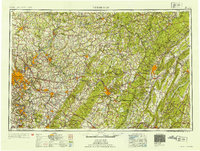
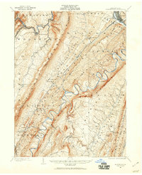
1954 Map of Pittsburgh
USGS Topo · Published 1954About this map
Industrial hubs and mountain crossings anchor this mid-century view of Western Pennsylvania. The confluence of the Allegheny River and Monongahela River at Pittsburgh serves as the focal point for a region defined by its river valleys and heavy rail infrastructure, including the extensive lines of the Pennsylvania RR and Baltimore & Ohio RR. The landscape transitions from the river-side factory towns like Donora and Monessen to the formidable ridges of the Allegheny Mountains in the east.
Find a feature on this map
98 named features on this map. Tap any name to fly to it.
Don’t see what you’re looking for? This feature index may not catch every label — zoom into the map to look around manually.
Map Details
Editions of this 1954 Pittsburgh Map
2 editions found
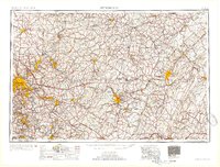
Other maps of this area

1900 · Uniontown
USGS Topo · 1:62,500

1900 · Mercersburg
USGS Topo · 1:62,500

1900 · Masontown
USGS Topo · 1:62,500
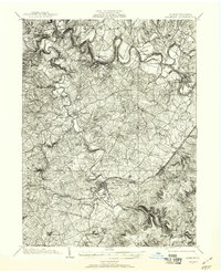
1900 · Latrobe
USGS Topo · 1:62,500
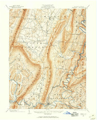
1900 · Everett
USGS Topo · 1:62,500

1900 · Kittanning
USGS Topo · 1:62,500

1901 · Amity
USGS Topo · 1:62,500

1901 · Rural Valley
USGS Topo · 1:62,500

1901 · Waynesburg
USGS Topo · 1:62,500
1901 · Huntingdon
USGS Topo · 1:62,500