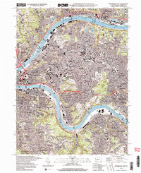
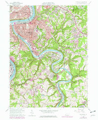
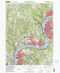
1997 Map of Pittsburgh East
USGS Topo · Published 2000This historical map portrays the area of Pittsburgh East in 1997, primarily covering Allegheny County. Featuring a scale of 1:24000, this map provides a highly detailed snapshot of the terrain, roads, buildings, counties, and historical landmarks in the Pittsburgh East region at the time. Published in 2000, it is one of 2 known editions of this map due to revisions or reprints.
Find a feature on this map
125 named features on this map. Tap any name to fly to it.
Don’t see what you’re looking for? This feature index may not catch every label — zoom into the map to look around manually.
Map Details
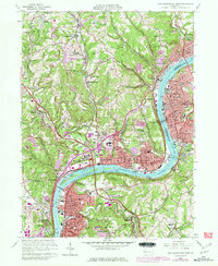
Editions of this 1997 Pittsburgh East Map
2 editions found
Historical Maps of Edgewood Through Time
19 maps found

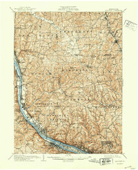
1906 Sewickley
Allegheny County, PA
1908 Sewickley
Allegheny County, PA

1948 Pittsburgh West
Allegheny County, PA
1951 Pittsburgh East
Allegheny County, PA
1951 Pittsburg West
Allegheny County, PA

1953 Mc Keesport
Allegheny County, PA

1953 New Kensington West
Allegheny County, PA

1956 Pittsburgh East
Allegheny County, PA

1956 Pittsburgh West
Allegheny County, PA
1960 Mc Keesport
Allegheny County, PA
1960 New Kensington West
Allegheny County, PA
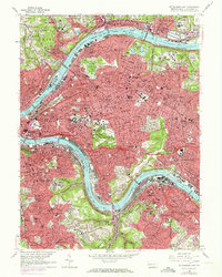
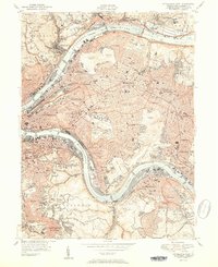
1960 Pittsburgh East
Allegheny County, PA
1960 Pittsburgh West
Allegheny County, PA

1993 Mc Keesport
Allegheny County, PA
1993 New Kensington West
Allegheny County, PA

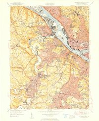
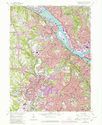
1993 Pittsburgh East
Allegheny County, PA

1993 Pittsburgh West
Allegheny County, PA
1997 Pittsburgh East
Allegheny County, PA
1997 Pittsburgh West
Allegheny County, PA