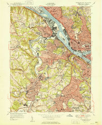
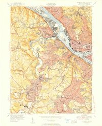
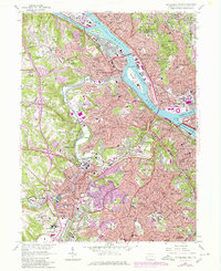
1951 Map of Pittsburgh West
USGS Topo · Published 1951About this map
The confluence of the Allegheny River and Monongahela River forms the Ohio River at the heart of this post-war survey, anchoring a landscape of heavy industry and dense residential expansion. Along the river banks, the Pittsburgh and Lake Erie and Pennsylvania railroads service the manufacturing hubs of McKees Rocks and Esplen, while the McKees Rocks Bridge and West End Bridge connect the river's north and south shores. Beyond the industrial corridors, the terrain rises into the boroughs of Dormont, Mount Lebanon, and Crafton, which are characterized by a tight network of schools and churches.
Find a feature on this map
96 named features on this map. Tap any name to fly to it.
Don’t see what you’re looking for? This feature index may not catch every label — zoom into the map to look around manually.
Map Details
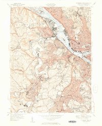
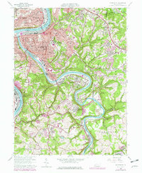
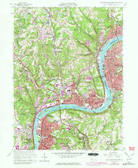
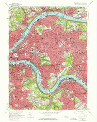
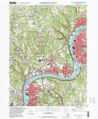
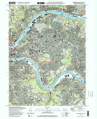
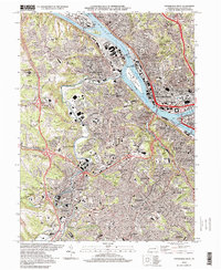
Editions of this 1951 Pittsburgh West Map
3 editions found
Historical Maps of Pittsburgh Through Time
22 maps found

1906 Sewickley
Allegheny County, PA
1908 Sewickley
Allegheny County, PA

1948 Pittsburgh West
Allegheny County, PA
1951 Pittsburgh East
Allegheny County, PA
1951 Pittsburg West
Allegheny County, PA

1953 Mc Keesport
Allegheny County, PA

1953 New Kensington West
Allegheny County, PA

1956 Pittsburgh East
Allegheny County, PA

1956 Pittsburgh West
Allegheny County, PA
1960 Mc Keesport
Allegheny County, PA
1960 New Kensington West
Allegheny County, PA
1960 Pittsburgh East
Allegheny County, PA
1960 Pittsburgh West
Allegheny County, PA

1993 Mc Keesport
Allegheny County, PA
1993 New Kensington West
Allegheny County, PA

1993 Pittsburgh East
Allegheny County, PA

1993 Pittsburgh West
Allegheny County, PA
1997 Pittsburgh East
Allegheny County, PA
1997 Pittsburgh West
Allegheny County, PA
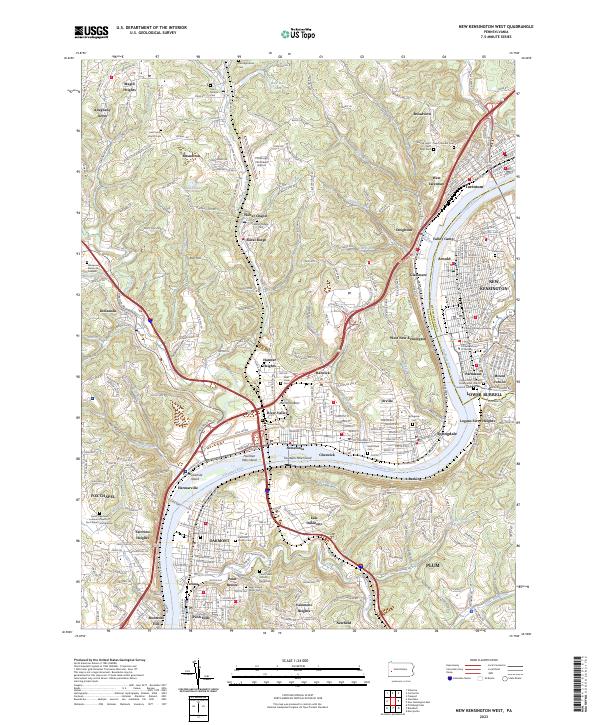
2023 New Kensington West
Allegheny County, PA
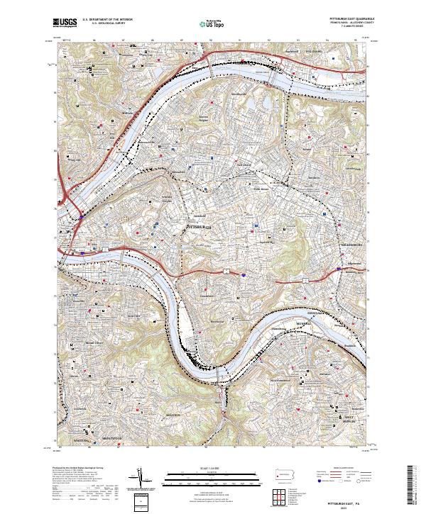
2023 Pittsburgh East
Allegheny County, PA
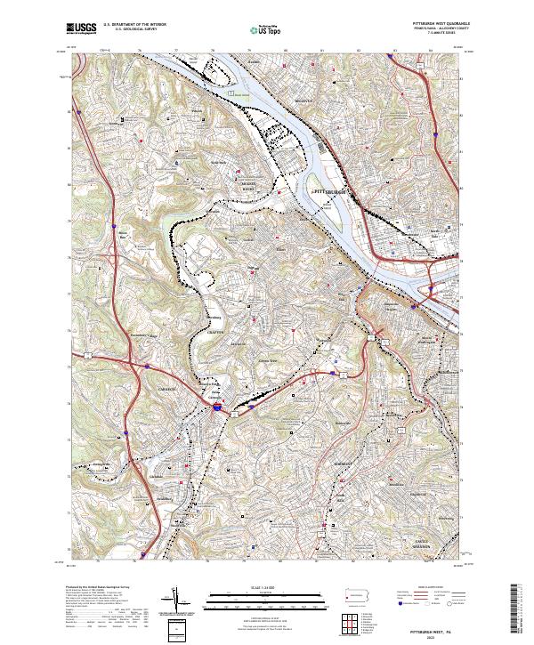
2023 Pittsburgh West
Allegheny County, PA