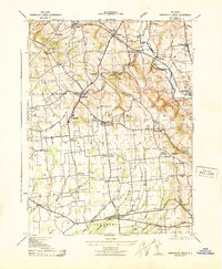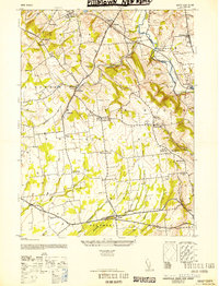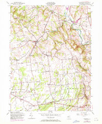
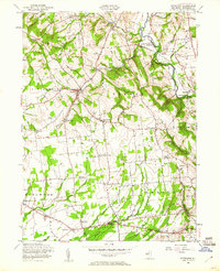
1955 Map of Pittstown
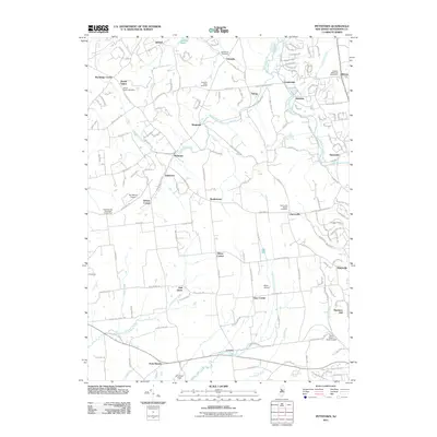
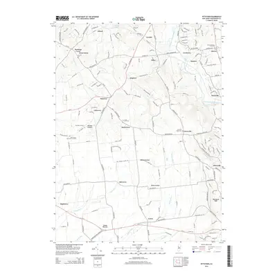
USGS Topo · Published 1972About this map
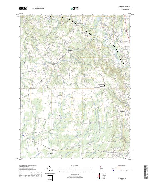
The South Branch Raritan River carves through the eastern portion of this Hunterdon County landscape, where the Lehigh Valley rail line follows the river corridor near Lansdowne and Hamden. This 1955 survey, with later revisions, documents a network of crossroads settlements and family-named corners such as Allens Corner, Mechlings Corner, and Alvater Corner. The topography is defined by the numerous watercourses feeding the Raritan, including Cakepoulin Creek and Cramers Creek, which cut through the ridges of Union and Franklin townships.
Find a feature on this map
51 named features on this map. Tap any name to fly to it.
Don’t see what you’re looking for? This feature index may not catch every label — zoom into the map to look around manually.
Map Details
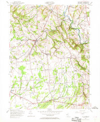
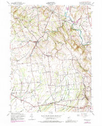
Editions of this 1955 Pittstown Map
6 editions found

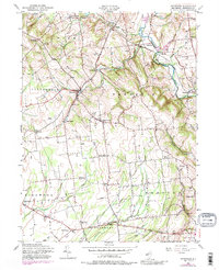
Historical Maps of Raritan Township Through Time
8 maps found