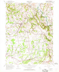
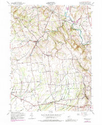
1955 Map of Pittstown
USGS Topo · Published 1969About this map
The Lehigh Valley railroad cuts through the northern hills of Hunterdon County, anchoring a landscape defined by small mid-century agricultural hamlets and crossroads. The village of Pittstown sits at the convergence of several local roads, flanked by smaller settlements like Littletown and Ringtown. This 1955 revision reveals a transition in the rural economy, where traditional landmarks like the Locust Grove Cem and St Thomas Ch are joined by newer additions including a private Airfield and a State Police Radio Tower near Point Breeze. In the southern reaches, the land levels out toward Croton and Baptistown, drained by the winding Lockatong Creek and Wickecheoke Creek. This topography highlights the historical settlement patterns of the Delaware and Raritan watersheds before modern suburban expansion significantly altered the township boundaries of Franklin and Alexandria.
Find a feature on this map
53 named features on this map. Tap any name to fly to it.
Don’t see what you’re looking for? This feature index may not catch every label — zoom into the map to look around manually.
Map Details
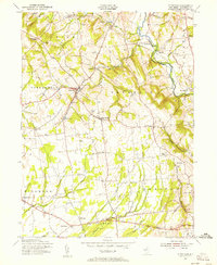
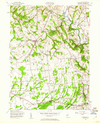
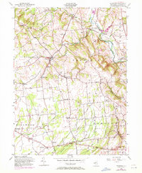
Editions of this 1955 Pittstown Map
6 editions found
Other maps of this area

1890 · Easton
USGS Topo · 1:62,500

1890 · High Bridge
USGS Topo · 1:62,500

1890 · Lambertville
USGS Topo · 1:62,500

1890 · Doylestown
USGS Topo · 1:62,500

1891 · Easton
USGS Topo · 1:62,500

1891 · Lambertville
USGS Topo · 1:62,500

1891 · Doylestown
USGS Topo · 1:62,500

1894 · Lambertville
USGS Topo · 1:62,500

1898 · High Bridge
USGS Topo · 1:62,500

1900 · Raritan
USGS Topo · 1:125,000