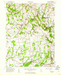
1955 Map of Pittstown
USGS Topo · Published 1960About this map
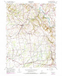
Pittstown and its surrounding hamlets define this mid-century portrait of Hunterdon County, where the transition from high ridgelines to the fertile lowlands of the South Branch Raritan River is clearly visible. The landscape is dotted with ancestral settlements like Quakertown, Baptistown, and Croton, connected by a network of rural roads that frequently intersect at family-named landmarks such as Atwater Corner and Allens Corner. The Lehigh Valley Railroad winds through the northern terrain, following the watercourse of Cakepoulin Creek past Sidney and Lansdowne.
Find a feature on this map
58 named features on this map. Tap any name to fly to it.
Don’t see what you’re looking for? This feature index may not catch every label — zoom into the map to look around manually.
Map Details
Editions of this 1955 Pittstown Map
6 editions found
Other maps of this area

1890 · Easton
USGS Topo · 1:62,500

1890 · High Bridge
USGS Topo · 1:62,500

1890 · Lambertville
USGS Topo · 1:62,500

1890 · Doylestown
USGS Topo · 1:62,500

1891 · Easton
USGS Topo · 1:62,500

1891 · Lambertville
USGS Topo · 1:62,500

1891 · Doylestown
USGS Topo · 1:62,500

1894 · Lambertville
USGS Topo · 1:62,500

1898 · High Bridge
USGS Topo · 1:62,500

1900 · Raritan
USGS Topo · 1:125,000