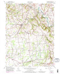
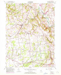
1955 Map of Pittstown
USGS Topo · Published 1988About this map
The South Branch Raritan River anchors the northeastern corner of this Hunterdon County landscape, where the Lehigh Valley railroad follows the river's bend near Hamden and Lansdowne. The terrain is marked by a network of rural crossroads and family settlements, such as Alvater Corner, Allens Corner, and Gary Corner, reflecting a mid-century agricultural community connected by winding local roads. This 1955 survey includes revisions from 1970, capturing the subtle growth of villages like Pittstown and Quakertown before significant modern suburbanization.
Find a feature on this map
56 named features on this map. Tap any name to fly to it.
Don’t see what you’re looking for? This feature index may not catch every label — zoom into the map to look around manually.
Map Details
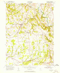
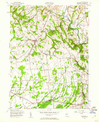
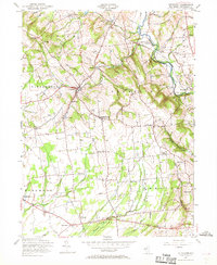
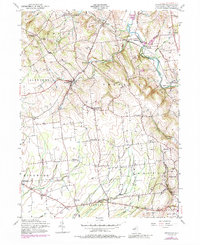
Editions of this 1955 Pittstown Map
6 editions found
Other maps of this area

1890 · Easton
USGS Topo · 1:62,500

1890 · High Bridge
USGS Topo · 1:62,500

1890 · Lambertville
USGS Topo · 1:62,500

1890 · Doylestown
USGS Topo · 1:62,500

1891 · Easton
USGS Topo · 1:62,500

1891 · Lambertville
USGS Topo · 1:62,500

1891 · Doylestown
USGS Topo · 1:62,500

1894 · Lambertville
USGS Topo · 1:62,500

1898 · High Bridge
USGS Topo · 1:62,500

1900 · Raritan
USGS Topo · 1:125,000