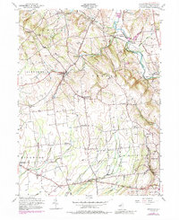
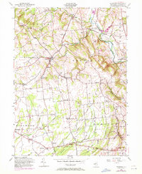
1955 Map of Pittstown
USGS Topo · Published 1988About this map
South Branch Raritan River winds through the eastern portion of this Hunterdon County landscape, where the Lehigh Valley railroad follows the river's path through Lansdowne and Hamden. The mid-20th-century character of the region is defined by a dense network of crossroads settlements and family-named corners, such as Alvater Corner, Allens Corner, and Gary Corner. These small hubs, along with larger centers like Pittstown and Quakertown, reflect a settled agricultural and residential pattern established long before modern suburban expansion. Local spiritual and community life is anchored by landmarks like St Thomas Ch and Bethlehem Cem near Mt Salem. To the south, the terrain levels out near Baptistown and Croton, where the headwaters of Lockatong Creek and Wickecheoke Creek begin their descent toward the Delaware River. The map also records specialized land uses, including a private Airfield near Pittstown and a State Police Radio Tower near Point Breeze.
Find a feature on this map
52 named features on this map. Tap any name to fly to it.
Don’t see what you’re looking for? This feature index may not catch every label — zoom into the map to look around manually.
Map Details
Editions of this 1955 Pittstown Map
6 editions found
Other maps of this area

1890 · Easton
USGS Topo · 1:62,500

1890 · High Bridge
USGS Topo · 1:62,500

1890 · Lambertville
USGS Topo · 1:62,500

1890 · Doylestown
USGS Topo · 1:62,500

1891 · Easton
USGS Topo · 1:62,500

1891 · Lambertville
USGS Topo · 1:62,500

1891 · Doylestown
USGS Topo · 1:62,500

1894 · Lambertville
USGS Topo · 1:62,500

1898 · High Bridge
USGS Topo · 1:62,500

1900 · Raritan
USGS Topo · 1:125,000