
1902 Map of Pittsville
USGS Topo · Published 1902About this map
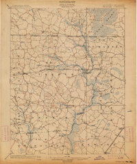
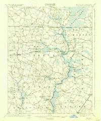
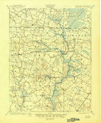
Settlements like Pittsville and Parsonsburg define the landscape of the Delmarva Peninsula at the turn of the century, positioned along the vital corridor of the Baltimore Chesapeake and Atlantic. This 1902 edition, produced under State Geologist William Bullock Clark, meticulously details the intricate drainage of the Pocomoke River basin and the expansive Cedar Swamp near the Maryland and Delaware border. The map captures the agricultural and timber-based economy of the era, where mill branches and prongs connect small communities such as Whaleysville and Powellville.
Find a feature on this map
62 named features on this map. Tap any name to fly to it.
Don’t see what you’re looking for? This feature index may not catch every label — zoom into the map to look around manually.
Map Details
Editions of this 1902 Pittsville Map
4 editions found
Other maps of this area

1901 · Snow Hill
USGS Topo · 1:62,500

1901 · Salisbury
USGS Topo · 1:62,500

1901 · Green Run
USGS Topo · 1:62,500

1901 · Ocean City
USGS Topo · 1:62,500

1915 · Seaford
USGS Topo · 1:62,500

1917 · Millsboro
USGS Topo · 1:62,500

1918 · Rehoboth
USGS Topo · 1:62,500

1938 · Millsboro
USGS Topo · 1:62,500

1938 · Rehoboth
USGS Topo · 1:62,500

1938 · Green Run
USGS Topo · 1:62,500