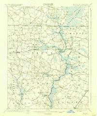
1902 Map of Pittsville
USGS Topo · Published 1937About this map
The Pocomoke River carves a winding course through the heart of the Lower Eastern Shore, anchoring a landscape defined by extensive wetlands and small rural settlements at the turn of the century. In this 1900-1901 survey, the Baltimore and Chesapeake Atlantic railroad serves as the primary East-West artery, connecting towns like Parsonsburg, Pittsville, and Whaleysville. These villages appear as clustered hubs amidst a network of drainage systems and family-named water features like Adkins Pond and Aydelotte Branch.
Find a feature on this map
56 named features on this map. Tap any name to fly to it.
Don’t see what you’re looking for? This feature index may not catch every label — zoom into the map to look around manually.
Map Details
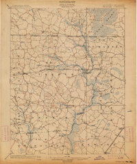
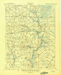
Editions of this 1902 Pittsville Map
4 editions found
Other maps of this area

1901 · Snow Hill
USGS Topo · 1:62,500

1901 · Salisbury
USGS Topo · 1:62,500

1901 · Green Run
USGS Topo · 1:62,500

1901 · Ocean City
USGS Topo · 1:62,500

1902 · Pittsville
USGS Topo · 1:62,500

1915 · Seaford
USGS Topo · 1:62,500

1917 · Millsboro
USGS Topo · 1:62,500

1918 · Rehoboth
USGS Topo · 1:62,500

1938 · Millsboro
USGS Topo · 1:62,500

1938 · Rehoboth
USGS Topo · 1:62,500