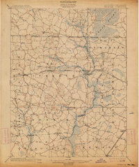
1902 Map of Pittsville
USGS Topo · Published 1914About this map
Pocomoke River drainage networks and extensive wetlands define this agricultural and timber landscape at the turn of the century. The map captures the vital role of early rail infrastructure, featuring the Baltimore Chesapeake and Atlantic line connecting Pittsville and Parsonsburg, alongside the Philadelphia Wilmington and Baltimore R. R. further east. The transition from the dense Cedar Swamp in the north to the established districts of Pittsburg and Dennis illustrates the 1901 settlement patterns of Wicomico and Worcester counties. Mill operations and local commerce are evidenced by features like Adkins Pond, Tilghman Pond, and the Old Mill Branch. Local genealogists can trace the road networks connecting vanished post offices and small crossroads such as Whiton, Kelly, and Twilley near the Maryland and Delaware Boundary Line.
Find a feature on this map
65 named features on this map. Tap any name to fly to it.
Don’t see what you’re looking for? This feature index may not catch every label — zoom into the map to look around manually.
Map Details
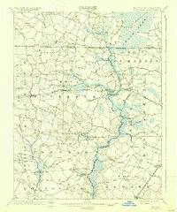
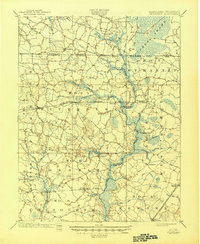
Editions of this 1902 Pittsville Map
4 editions found
Other maps of this area

1901 · Snow Hill
USGS Topo · 1:62,500

1901 · Salisbury
USGS Topo · 1:62,500

1901 · Green Run
USGS Topo · 1:62,500

1901 · Ocean City
USGS Topo · 1:62,500

1902 · Pittsville
USGS Topo · 1:62,500

1915 · Seaford
USGS Topo · 1:62,500

1917 · Millsboro
USGS Topo · 1:62,500

1918 · Rehoboth
USGS Topo · 1:62,500

1938 · Millsboro
USGS Topo · 1:62,500

1938 · Rehoboth
USGS Topo · 1:62,500