
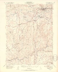
1949 Map of Placerville
USGS Topo · Published 1953About this map
The gold-bearing foothills of El Dorado County are meticulously documented in this mid-century survey, centered on the historic hub of Placerville and the surrounding mining districts. The landscape is a network of ridges and ravines shaped by the search for quartz and placer gold, evidenced by the numerous operations like the Pyramid Mine, Vandalia Mine, and Starbright Mine. Small agricultural and mining communities such as Diamond Springs, El Dorado, and Fiddletown are shown connected by the Southern Pacific railroad and early mountain roads.
Find a feature on this map
104 named features on this map. Tap any name to fly to it.
Don’t see what you’re looking for? This feature index may not catch every label — zoom into the map to look around manually.
Map Details
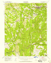
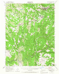
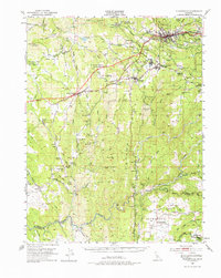
Editions of this 1949 Placerville Map
5 editions found
Other maps of this area

1889 · Jackson
USGS Topo · 1:125,000

1891 · Sacramento
USGS Topo · 1:125,000

1891 · Placerville
USGS Topo · 1:125,000

1892 · Jackson
USGS Topo · 1:125,000

1892 · Sacramento
USGS Topo · 1:125,000

1892 · Placerville
USGS Topo · 1:125,000

1893 · Placerville
USGS Topo · 1:125,000

1893 · Sacramento
USGS Topo · 1:125,000

1894 · Lodi
USGS Topo · 1:125,000

1897 · Jackson
USGS Topo · 1:125,000