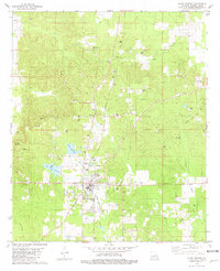
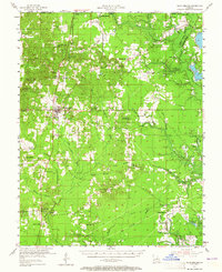
1955 Map of Plain Dealing
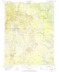
USGS Topo · Published 1984About this map
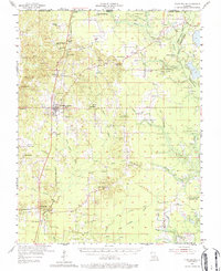
The St Louis Southwestern Railroad corridor serves as the primary spine for development through northern Bossier Parish, linking the commercial center of Plain Dealing with neighboring settlements like Bolinger and Antrim. This mid-century survey captures a landscape defined by its extractive economy, dominated by the Redland Oil and Gas Field and the Sarepta Gas and Oil Field to the east. These industrial zones are interspersed with a dense network of family-named landmarks and rural institutions, such as Walker Chapel, Morning Star Ch, and Wyche Cem. To the southeast, the terrain transitions into the floodplains of the Bodcau Reservoir, where numerous creeks like Caney Creek and Phillips Creek feed into the expansive drainage system. The presence of the Plain Dealing Lookout Tower and Bolinger Lookout Tower underscores the region's managed timber and fire protection infrastructure during this era.
Find a feature on this map
79 named features on this map. Tap any name to fly to it.
Don’t see what you’re looking for? This feature index may not catch every label — zoom into the map to look around manually.
Map Details
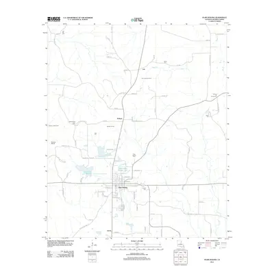
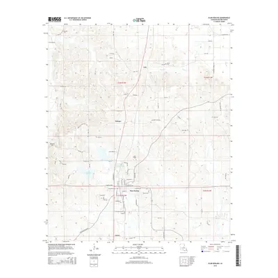
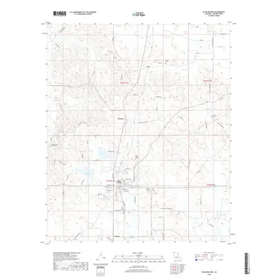
Editions of this 1955 Plain Dealing Map
4 editions found
Historical Maps of Plain Dealing Through Time
7 maps found