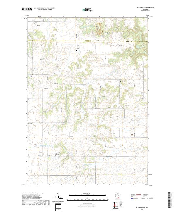
2022 Map of Plainview SW
USGS Topo · Published 2022About this map
Elgin sits at the northwestern edge of this landscape, where the agricultural plateaus of Wabasha and Olmsted counties are deeply dissected by the tributaries of the Whitewater River. The map detail highlights a rural network of family and community heritage, marked by the presence of several burying grounds such as Saint Paul's Cem and Pleasant Valley Cem. The terrain is defined by the winding paths of the Middle Fork Whitewater River and the N Fork Whitewater River, which create a complex system of ridges and valleys.
Find a feature on this map
35 named features on this map. Tap any name to fly to it.
Don’t see what you’re looking for? This feature index may not catch every label — zoom into the map to look around manually.
Map Details
Editions of this 2022 Plainview SW Map
This is the sole edition of this map. No revisions or reprints were ever made.
Other maps of this area

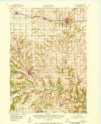
1934 · Plainview
USGS Topo · 1:62,500

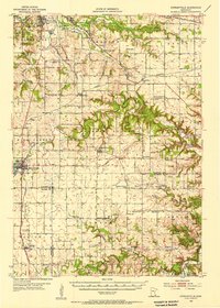
1935 · Rochester
USGS Topo · 1:48,000

1938 · Plainview
USGS Topo · 1:62,500

1939 · Rochester
USGS Topo · 1:62,500

1953 · Saint Paul
USGS Topo · 1:250,000
1954 · Chatfield
USGS Topo · 1:62,500

1954 · Mason City
USGS Topo · 1:250,000
1955 · Stewartville
USGS Topo · 1:62,500

1957 · Mason City
USGS Topo · 1:250,000

1958 · Mason City
USGS Topo · 1:250,000