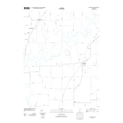
2013 Map of Plainville
USGS Topo · Published 2013About this map
The White River meanders heavily through this Daviess County landscape, creating a complex network of oxbows and secondary channels such as the Smothers Cr Cutoff. The settlement of Plainville serves as a local hub, situated near the winding Smothers Cr and Hanna Cr. Further north, Westphalia and the transit point at Wagner Station anchor the agricultural plains. This 2013 survey illustrates a sophisticated hydraulic system designed to manage the low-lying terrain, including the Killion Canal and several significant drainage features like Singer Ditch, Linnewebber Ditch, and Hawes Ditch. To the south, Harbstreit Hill provides a rare point of elevation in a region otherwise defined by its waterways. The presence of N'Meier Airport reflects the continued integration of modern transportation with the established rural road grid.
Find a feature on this map
64 named features on this map. Tap any name to fly to it.
Don’t see what you’re looking for? This feature index may not catch every label — zoom into the map to look around manually.
Map Details
Editions of this 2013 Plainville Map
This is the sole edition of this map. No revisions or reprints were ever made.
Other maps of this area

1943 · Lyons
USGS Topo · 1:24,000

1943 · Sandborn
USGS Topo · 1:24,000

1943 · Bicknell
USGS Topo · 1:24,000

1943 · Plainville
USGS Topo · 1:24,000

1943 · Epsom
USGS Topo · 1:24,000

1944 · Bucktown
USGS Topo · 1:24,000

1944 · Montgomery
USGS Topo · 1:24,000

1944 · Washington
USGS Topo · 1:24,000

1944 · Wheatland
USGS Topo · 1:24,000

1956 · Vincennes
USGS Topo · 1:250,000