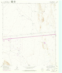
1964 Map of Plateau
USGS Topo · Published 1979About this map
The Missouri Pacific railroad cuts a horizontal line through this Culberson County landscape, anchoring the small settlement of Plateau and the nearby ranching outpost at Sacaton. The map reveals a sophisticated network of water management essential for West Texas ranching, marked by numerous storage points such as Plateau Tank, Sandhill Tank, and Cockleburr Tank. These features are vital for understanding the historical land use patterns in an area defined by its drainage systems like Plateau Draw and Michigan Draw. A local Landing Field and a scattered Gravel Pit highlight the infrastructure supporting transportation and industry during the mid-1960s. The presence of fine red dashed lines indicates historical fence lines, providing genealogists and local historians with a detailed record of property boundaries and land divisions from the era.
Find a feature on this map
11 named features on this map. Tap any name to fly to it.
Don’t see what you’re looking for? This feature index may not catch every label — zoom into the map to look around manually.
Map Details
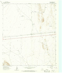
Editions of this 1964 Plateau Map
2 editions found
Other maps of this area

1892 · Chispa
USGS Topo · 1:125,000

1894 · Valentine
USGS Topo · 1:125,000

1895 · Chispa
USGS Topo · 1:125,000

1897 · Valentine
USGS Topo · 1:125,000

1897 · Chispa
USGS Topo · 1:125,000

1906 · Van Horn
USGS Topo · 1:125,000

1928 · Kent
USGS Topo · 1:125,000

1943 · Valentine
USGS Topo · 1:125,000

1954 · Van Horn
USGS Topo · 1:250,000

1958 · Van Horn
USGS Topo · 1:250,000