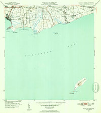
1952 Map of Playa De Ponce
USGS Topo · Published 1952About this map
Industrial and agricultural history converge along the Caribbean coast in this survey overseen by Commissioner Roberto Sanchez Vilella. The landscape is dominated by large estates and processing facilities such as Central Constancia and Central Fortuna, which reflect the sugar economy that shaped the region during the mid-20th century. Numerous haciendas, including Hacienda Santa Cruz, Hacienda Esperanza, and Hacienda Serrano, are distributed across the alluvial plains between the Rio Portugues and Rio Jacaguas, illustrating the land tenure patterns of the era.
Find a feature on this map
38 named features on this map. Tap any name to fly to it.
Don’t see what you’re looking for? This feature index may not catch every label — zoom into the map to look around manually.
Map Details
Editions of this 1952 Playa De Ponce Map
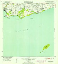
2 editions found
Other maps of this area

1944 · Santa Isabel
USGS Topo · 1:30,000

1945 · Playa De Ponce
USGS Topo · 1:30,000

1945 · Ponce
USGS Topo · 1:30,000

1945 · Rio Descalabrado
USGS Topo · 1:30,000

1946 · Punta Cuchara
USGS Topo · 1:30,000

1946 · Penuelas
USGS Topo · 1:30,000
1947 · Playa De Ponce NE
USGS Topo · 1:10,000

1947 · Punta Gughara NE
USGS Topo · 1:10,000

1947 · Ponce SO
USGS Topo · 1:10,000
1947 · Ponce SE
USGS Topo · 1:10,000