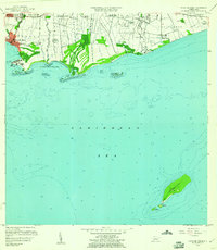
1958 Map of Playa De Ponce
USGS Topo · Published 1961About this map
Playa de Ponce serves as the focal point of this coastal survey, anchoring a landscape where industrial infrastructure and traditional agriculture meet the Caribbean Sea. The shoreline is defined by active maritime features like the Muelle de Ponce and the Faro, while the inland areas are divided into significant landholdings, notably Hacienda Santa Cruz, Hacienda Esperanza, and Hacienda Unión. These estates follow the fertile corridors between the Río Bucaná, Río Inabón, and Río Jacaguas.
Find a feature on this map
43 named features on this map. Tap any name to fly to it.
Don’t see what you’re looking for? This feature index may not catch every label — zoom into the map to look around manually.
Map Details
Editions of this 1958 Playa De Ponce Map
This is the sole edition of this map. No revisions or reprints were ever made.
Other maps of this area
1944 · Santa Isabel
USGS Topo · 1:30,000
1945 · Playa De Ponce
USGS Topo · 1:30,000
1945 · Ponce
USGS Topo · 1:30,000
1945 · Rio Descalabrado
USGS Topo · 1:30,000
1946 · Punta Cuchara
USGS Topo · 1:30,000
1946 · Penuelas
USGS Topo · 1:30,000
1947 · Playa De Ponce NE
USGS Topo · 1:10,000
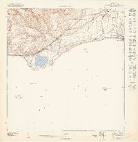
1947 · Punta Gughara NE
USGS Topo · 1:10,000
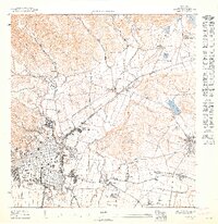
1947 · Ponce SO
USGS Topo · 1:10,000
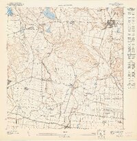
1947 · Ponce SE
USGS Topo · 1:10,000