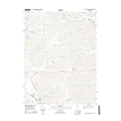
2015 Map of Pleasant Dale Valley
USGS Topo · Published 2015About this map
Mozier Landing and the riverfront settlement of Mozier anchor this survey of the eastern bank of the Mississippi River. The landscape is defined by the sharp transition from the river bottomlands to the deeply carved limestone bluffs and ridges of Calhoun County. Inland, the terrain is a labyrinth of named hollows, including Stearns Hollow, Belleview Hollow, and the aptly named Infidel Hollow, each providing drainage toward the great river.
Find a feature on this map
59 named features on this map. Tap any name to fly to it.
Don’t see what you’re looking for? This feature index may not catch every label — zoom into the map to look around manually.
Map Details
Editions of this 2015 Pleasant Dale Valley Map
This is the sole edition of this map. No revisions or reprints were ever made.
Other maps of this area

1930 · Pearl
USGS Topo · 1:62,500

1930 · Nebo
USGS Topo · 1:62,500

1930 · Hardin
USGS Topo · 1:62,500

1934 · Nebo
USGS Topo · 1:48,000

1934 · Elsberry
USGS Topo · 1:48,000

1934 · Hardin
USGS Topo · 1:62,500

1938 · Hardin
USGS Topo · 1:62,500

1942 · Nebo
USGS Topo · 1:62,500

1942 · Elsberry
USGS Topo · 1:62,500

1948 · Quincy
USGS Topo · 1:250,000