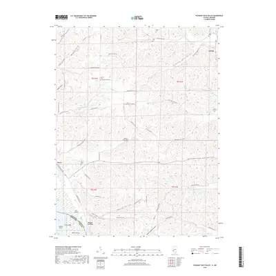
2018 Map of Pleasant Dale Valley
USGS Topo · Published 2018About this map
The Mississippi River shoreline and its surrounding river bottoms dominate the southwestern edge of this survey, where the small community of Mozier and the riverfront Mozier Landing sit just across the state line from Missouri. The landscape is defined by a dense network of hollows that drain from the interior bluffs toward the river valley, including Belleview Hollow, Mozier Hollow, and Kampsville Hollow. These narrow valleys historically dictated the pattern of local settlement and transport, with roads like Pancake Hollow Rd and Silver Creek Hollow Rd following the natural drainage paths.
Find a feature on this map
67 named features on this map. Tap any name to fly to it.
Don’t see what you’re looking for? This feature index may not catch every label — zoom into the map to look around manually.
Map Details
Editions of this 2018 Pleasant Dale Valley Map
This is the sole edition of this map. No revisions or reprints were ever made.
Other maps of this area

1930 · Pearl
USGS Topo · 1:62,500

1930 · Nebo
USGS Topo · 1:62,500

1930 · Hardin
USGS Topo · 1:62,500

1934 · Nebo
USGS Topo · 1:48,000

1934 · Elsberry
USGS Topo · 1:48,000

1934 · Hardin
USGS Topo · 1:62,500

1938 · Hardin
USGS Topo · 1:62,500

1942 · Nebo
USGS Topo · 1:62,500

1942 · Elsberry
USGS Topo · 1:62,500

1948 · Quincy
USGS Topo · 1:250,000