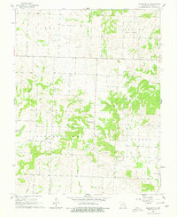
1961 Map of Pleasant Gap
USGS Topo · Published 1979About this map
Pleasant Gap sits at the heart of this rural Missouri landscape, serving as a focal point for the surrounding townships of Summit, Deepwater, Pleasant Gap, and Hudson. The area is defined by its intricate drainage network, where Deepwater Cr and various branches like Double Branch and Willow Branch carve through the terrain. This 1961 field-checked survey reveals a traditional agrarian settlement pattern, marked by numerous small family cemeteries and country churches that anchored the community. Genealogists will find significant value in the distribution of burial sites, from Smith Cem in the north to the Round Prairie Ch Cem in the southeast. Educational and spiritual life is well-documented through landmarks like the Double Branch Sch and the Pleasant Ridge Ch, providing a detailed record of local infrastructure before modern consolidation changed the rural schoolhouse and church landscape.
Find a feature on this map
28 named features on this map. Tap any name to fly to it.
Don’t see what you’re looking for? This feature index may not catch every label — zoom into the map to look around manually.
Map Details
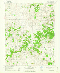
Editions of this 1961 Pleasant Gap Map
2 editions found
Other maps of this area

1887 · Butler
USGS Topo · 1:125,000

1894 · Butler
USGS Topo · 1:125,000

1934 · Papinsville
USGS Topo · 1:24,000

1934 · Rockville
USGS Topo · 1:24,000

1936 · Rich Hill
USGS Topo · 1:24,000

1947 · Lawrence
USGS Topo · 1:250,000

1950 · Lawrence
USGS Topo · 1:250,000

1953 · Johnstown
USGS Topo · 1:24,000
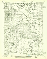
1955 · Rich Hill
USGS Topo · 1:24,000

1956 · Lawrence
USGS Topo · 1:250,000