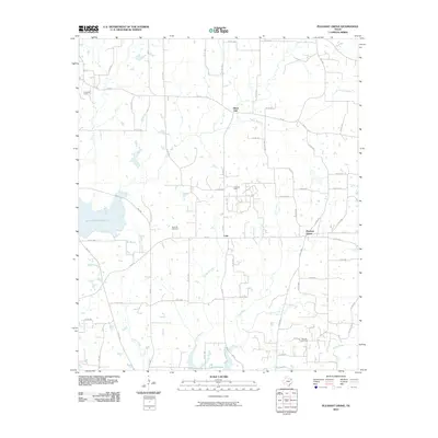
2010 Map of Pleasant Grove
USGS Topo · Published 2010About this map
Coke and Black Oak anchor this landscape in Wood County, characterized by a transition from traditional agricultural land use to significant petroleum production. The map reveals a dense network of county roads serving active energy resources, including the Como Oil Field, Coke Oil Field, and Manziel Oil Field. These industrial sites are interspersed among winding waterways like Brier Branch and Dry Creek, which feed into the larger hydrological features of the region.
Find a feature on this map
65 named features on this map. Tap any name to fly to it.
Don’t see what you’re looking for? This feature index may not catch every label — zoom into the map to look around manually.
Map Details
Editions of this 2010 Pleasant Grove Map
This is the sole edition of this map. No revisions or reprints were ever made.
Other maps of this area

1953 · Texarkana
USGS Topo · 1:250,000

1956 · Texarkana
USGS Topo · 1:250,000

1956 · Tyler
USGS Topo · 1:250,000

1959 · Calvary
USGS Topo · 1:24,000

1959 · Yantis
USGS Topo · 1:24,000

1959 · Alba
USGS Topo · 1:62,500

1960 · Winnsboro
USGS Topo · 1:24,000

1960 · Cartwright
USGS Topo · 1:24,000

1960 · Pleasant Grove
USGS Topo · 1:24,000

1960 · Quitman
USGS Topo · 1:24,000