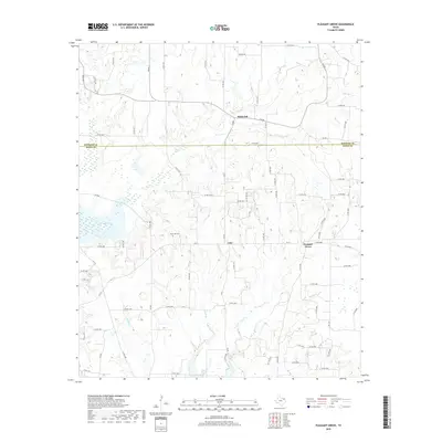
2019 Map of Pleasant Grove
USGS Topo · Published 2019About this map
Pleasant Grove and Coke anchor this East Texas landscape along the border of Wood and Hopkins counties. The terrain is defined by a dense network of tributaries including Honey Cr, Glade Br, and Dry Cr, which carve through the gently rolling countryside. This 2019 survey documents a rural infrastructure characterized by numerous county roads that link small settlements to agricultural land and local landmarks. To the west, Case Lake provides a significant water feature, while the presence of Rock Hill Cem north of Coke offers a focal point for genealogical research. The northern portion of the map includes the community of Black Oak near the Hopkins County line, illustrating the persistence of small rural centers in this corner of the state.
Find a feature on this map
77 named features on this map. Tap any name to fly to it.
Don’t see what you’re looking for? This feature index may not catch every label — zoom into the map to look around manually.
Map Details
Editions of this 2019 Pleasant Grove Map
This is the sole edition of this map. No revisions or reprints were ever made.
Other maps of this area

1953 · Texarkana
USGS Topo · 1:250,000

1956 · Texarkana
USGS Topo · 1:250,000

1956 · Tyler
USGS Topo · 1:250,000

1959 · Calvary
USGS Topo · 1:24,000

1959 · Yantis
USGS Topo · 1:24,000

1959 · Alba
USGS Topo · 1:62,500

1960 · Winnsboro
USGS Topo · 1:24,000

1960 · Cartwright
USGS Topo · 1:24,000

1960 · Pleasant Grove
USGS Topo · 1:24,000

1960 · Quitman
USGS Topo · 1:24,000