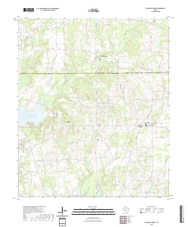
2022 Map of Pleasant Grove
USGS Topo · Published 2022About this map
Coke and Black Oak anchor this Wood County landscape, where the rural character of East Texas remains defined by small settlements and family cemeteries. The map reveals a dense network of local routes, including FM 515 and FM 2966, which connect these communities across a terrain drained by numerous seasonal waterways. Several burial grounds, such as Black Oak Cem and the Rock Hill Cem, offer critical data points for genealogists researching family lineages in the region.
Find a feature on this map
77 named features on this map. Tap any name to fly to it.
Don’t see what you’re looking for? This feature index may not catch every label — zoom into the map to look around manually.
Map Details
Editions of this 2022 Pleasant Grove Map
This is the sole edition of this map. No revisions or reprints were ever made.
Other maps of this area

1953 · Texarkana
USGS Topo · 1:250,000

1956 · Texarkana
USGS Topo · 1:250,000

1956 · Tyler
USGS Topo · 1:250,000

1959 · Calvary
USGS Topo · 1:24,000

1959 · Yantis
USGS Topo · 1:24,000

1959 · Alba
USGS Topo · 1:62,500

1960 · Winnsboro
USGS Topo · 1:24,000

1960 · Cartwright
USGS Topo · 1:24,000

1960 · Pleasant Grove
USGS Topo · 1:24,000

1960 · Quitman
USGS Topo · 1:24,000