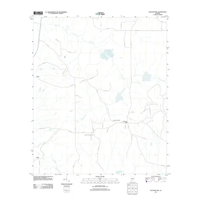
2011 Map of Pleasant Hill
USGS Topo · Published 2011About this map
Pleasant Hill stands at the heart of this Dallas County landscape, where the rural road network converges near the headwaters of Honor Branch. This 2011 survey reveals a territory defined by its watercourses and long-established community landmarks. To the west, Mush Creek and Hurricane Creek drain the undulating terrain, while the southern reaches are marked by the presence of R Cullpepper Lake and Cedar Creek. For genealogists and local historians, the map is a vital record of local heritage sites, preserving the locations of Mount Lebanon Cemetery and Underwood Cemetery. Small rural hubs such as Sinai Hall, Kings, and Swink are documented along the winding county roads, illustrating a settlement pattern that remains deeply connected to the land and its original water-driven geography.
Find a feature on this map
43 named features on this map. Tap any name to fly to it.
Don’t see what you’re looking for? This feature index may not catch every label — zoom into the map to look around manually.
Map Details
Editions of this 2011 Pleasant Hill Map
This is the sole edition of this map. No revisions or reprints were ever made.
Other maps of this area

1953 · Montgomery
USGS Topo · 1:250,000

1956 · Montgomery
USGS Topo · 1:250,000

1957 · Montgomery
USGS Topo · 1:250,000

1957 · Carlowville
USGS Topo · 1:62,500

1957 · Benton
USGS Topo · 1:62,500

1957 · Braggs
USGS Topo · 1:62,500

1958 · Selma
USGS Topo · 1:62,500

1975 · Benton SE
USGS Topo · 1:24,000

1975 · Selma SE
USGS Topo · 1:24,000

1975 · Carlowville NE
USGS Topo · 1:24,000