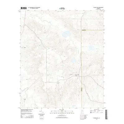
2014 Map of Pleasant Hill
USGS Topo · Published 2014About this map
Pleasant Hill stands as the primary community in this landscape along the border of Dallas and Lowndes counties. The terrain is defined by a dendritic network of drainages, including Mush Cr to the north and Hurricane Cr and Honor Br flowing toward the south and west. Local history and genealogy are centered on the Mt Lebanon Cem and Underwood Cem, which serve as physical links to the area's rural heritage. Small settlements like Kings and Swink are connected by a web of county roads, such as CR-12 and CR-85, which navigate the elevation changes around Hollingsheads. The southern reach of the map features R Cullpepper Lake and the winding course of Cedar Cr, illustrating the water-rich geography of this Alabama Black Belt region.
Find a feature on this map
38 named features on this map. Tap any name to fly to it.
Don’t see what you’re looking for? This feature index may not catch every label — zoom into the map to look around manually.
Map Details
Editions of this 2014 Pleasant Hill Map
This is the sole edition of this map. No revisions or reprints were ever made.
Other maps of this area

1953 · Montgomery
USGS Topo · 1:250,000

1956 · Montgomery
USGS Topo · 1:250,000

1957 · Montgomery
USGS Topo · 1:250,000

1957 · Carlowville
USGS Topo · 1:62,500

1957 · Benton
USGS Topo · 1:62,500

1957 · Braggs
USGS Topo · 1:62,500

1958 · Selma
USGS Topo · 1:62,500

1975 · Benton SE
USGS Topo · 1:24,000

1975 · Selma SE
USGS Topo · 1:24,000

1975 · Carlowville NE
USGS Topo · 1:24,000