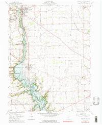
1961 Map of Pleasant Hill
USGS Topo · Published 1976About this map
The Stillwater River carves a winding path through Miami County, defining the landscape between the settlements of Covington and Ludlow Falls. This mid-century survey illustrates the rural character of southwestern Ohio, where fertile farmland is subdivided by a grid of named local routes like Sugar Grove Road and Fenner Road. The river corridor features dramatic geological formations such as Big Bend and Horseshoe Bend, providing a contrast to the surrounding agricultural plains.
Find a feature on this map
46 named features on this map. Tap any name to fly to it.
Don’t see what you’re looking for? This feature index may not catch every label — zoom into the map to look around manually.
Map Details
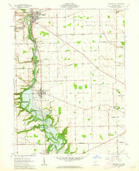
Editions of this 1961 Pleasant Hill Map
2 editions found
Other maps of this area

1904 · Dayton
USGS Topo · 1:62,500

1905 · Brookville
USGS Topo · 1:62,500

1906 · Dayton
USGS Topo · 1:62,500

1911 · Covington
USGS Topo · 1:62,500

1914 · Troy
USGS Topo · 1:62,500

1944 · Covington
USGS Topo · 1:62,500

1944 · Troy
USGS Topo · 1:62,500

1953 · Cincinnati
USGS Topo · 1:250,000

1953 · Muncie
USGS Topo · 1:250,000

1955 · West Milton
USGS Topo · 1:24,000