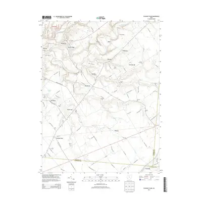
2013 Map of Pleasant Plain
USGS Topo · Published 2013About this map
The Little Miami River and the winding Todd Fork define the northern drainage of this southwestern Ohio landscape, where the borders of Warren, Clinton, and Clermont counties meet. Small rural clusters and established villages like Pleasant Plain, Butlerville, and Roachester are linked by a network of named country roads, including Morrow Woodville Rd and Rochester Cozaddale Rd. This area is particularly rich in family-named burial sites, providing a significant resource for local genealogists studying the families of Old Quaker Cem, Runyan Cem, and Landaker Cem. The presence of small aviation facilities like Frith Airport and Buena Vista Farm Airport among the agricultural fields suggests a post-war era of private aviation integrated into the farming community. The topography transitions from the deeper incision of Steep Hollow to the flatter reaches of Pleasant Plain in the south.
Find a feature on this map
105 named features on this map. Tap any name to fly to it.
Don’t see what you’re looking for? This feature index may not catch every label — zoom into the map to look around manually.
Map Details
Editions of this 2013 Pleasant Plain Map
This is the sole edition of this map. No revisions or reprints were ever made.
Other maps of this area

1907 · Blanchester
USGS Topo · 1:62,500

1914 · Batavia
USGS Topo · 1:48,000

1914 · Morrow
USGS Topo · 1:62,500

1916 · Batavia
USGS Topo · 1:62,500

1916 · Morrow
USGS Topo · 1:62,500

1917 · Sardinia
USGS Topo · 1:62,500

1944 · Sardinia
USGS Topo · 1:62,500

1947 · Columbus
USGS Topo · 1:250,000

1953 · Goshen
USGS Topo · 1:24,000

1953 · Newtonsville
USGS Topo · 1:24,000