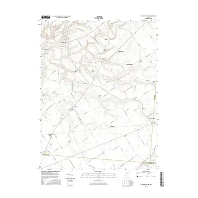
2016 Map of Pleasant Plain
USGS Topo · Published 2016About this map
The Little Miami River and its major tributary, Todd Fork, define the drainage and early transit routes across this corner of Warren, Clinton, and Clermont counties. This landscape is characterized by a dense network of family-named cemeteries and small settlements like Butlerville, Roachester, and Middleboro, reflecting a well-established agricultural community. The presence of the N Country National Scenic Trail near the river bluffs contrasts with the rural infrastructure of the interior, including the Buena Vista Farm Airport. Genealogists will find a wealth of burial sites such as the Old Quaker Cem, Stiles Cem, and Rossella Cem. The map illustrates the convergence of local townships at the intersection of several county boundaries, where the village of Blanchester begins to emerge on the eastern edge, showing the transition from isolated farmsteads to more structured municipal centers.
Find a feature on this map
125 named features on this map. Tap any name to fly to it.
Don’t see what you’re looking for? This feature index may not catch every label — zoom into the map to look around manually.
Map Details
Editions of this 2016 Pleasant Plain Map
This is the sole edition of this map. No revisions or reprints were ever made.
Other maps of this area

1907 · Blanchester
USGS Topo · 1:62,500

1914 · Batavia
USGS Topo · 1:48,000

1914 · Morrow
USGS Topo · 1:62,500

1916 · Batavia
USGS Topo · 1:62,500

1916 · Morrow
USGS Topo · 1:62,500

1917 · Sardinia
USGS Topo · 1:62,500

1944 · Sardinia
USGS Topo · 1:62,500

1947 · Columbus
USGS Topo · 1:250,000

1953 · Goshen
USGS Topo · 1:24,000

1953 · Newtonsville
USGS Topo · 1:24,000