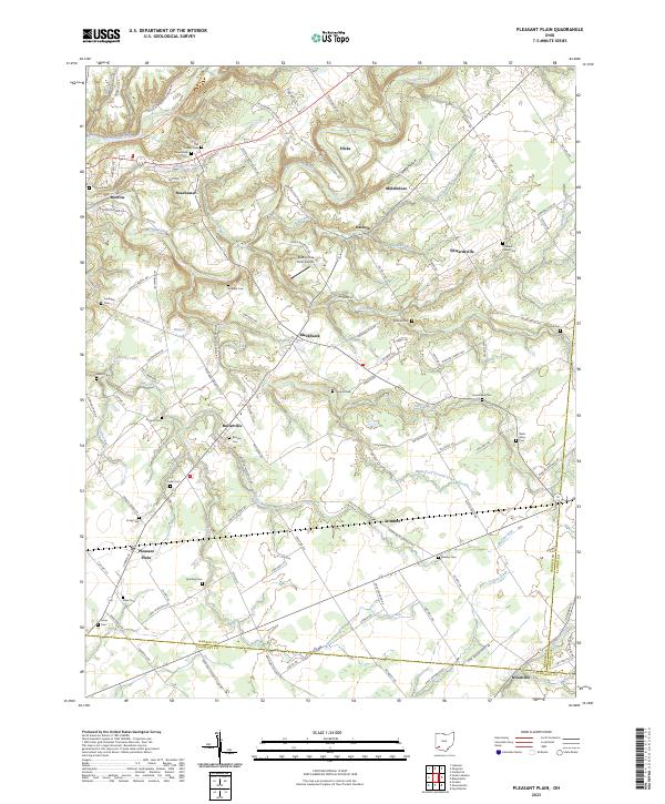
2023 Map of Pleasant Plain
USGS Topo · Published 2023About this map
The rolling agricultural landscape of Pleasant Plain and surrounding Warren and Clermont Counties is defined by the winding course of Todd Fork and its numerous tributaries. Modern infrastructure, including the North Country National Scenic Trail and the Buena Vista Farm Airport, overlays a deep historical grid of small settlements and family burial grounds. Local history is etched into the landscape through concentrations of early cemeteries, such as the Quaker Cem near Roachester and the Stiles Cem further south. The map records the varied terrain of Steep Hollow and the drainage patterns of Second Creek and Lick Run. Moving between larger hubs like Morrow and smaller crossroads such as Butlerville and Edwardsville, the road network follows historic routes like Mason Morrow Millgrove Rd, connecting scattered farmsteads across the fertile Ohio countryside.
Find a feature on this map
98 named features on this map. Tap any name to fly to it.
Don’t see what you’re looking for? This feature index may not catch every label — zoom into the map to look around manually.
Map Details
Editions of this 2023 Pleasant Plain Map
This is the sole edition of this map. No revisions or reprints were ever made.
Other maps of this area

1907 · Blanchester
USGS Topo · 1:62,500

1914 · Batavia
USGS Topo · 1:48,000

1914 · Morrow
USGS Topo · 1:62,500

1916 · Batavia
USGS Topo · 1:62,500

1916 · Morrow
USGS Topo · 1:62,500

1917 · Sardinia
USGS Topo · 1:62,500

1944 · Sardinia
USGS Topo · 1:62,500

1947 · Columbus
USGS Topo · 1:250,000

1953 · Goshen
USGS Topo · 1:24,000

1953 · Newtonsville
USGS Topo · 1:24,000