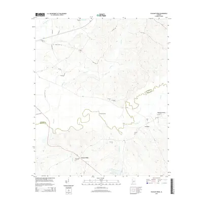
2014 Map of Pleasant Ridge
USGS Topo · Published 2014About this map
The Sipsey River snakes through the borderlands between Pickens County and Greene County, defining a landscape of meandering waterways and scattered rural communities. In this modern survey of the region, the settlement of Pleasant Ridge serves as a local anchor near Pleasant Ridge Church and Wilkes Creek, while the village of Lewiston sits to the east. The map records a high density of family and community burial grounds, such as Miller Place Cem and Screptah Cem, which offer significant value for genealogical research in this part of Alabama. The crossing at Richardson Bridge and the path of Al-14 highlight the transportation network that connects these small clusters. Further north, the terrain is shaped by the drainage of Hughes Creek and Cow Creek, leading toward Sterling Lake.
Find a feature on this map
43 named features on this map. Tap any name to fly to it.
Don’t see what you’re looking for? This feature index may not catch every label — zoom into the map to look around manually.
Map Details
Editions of this 2014 Pleasant Ridge Map
This is the sole edition of this map. No revisions or reprints were ever made.
Other maps of this area

1927 · Eutaw
USGS Topo · 1:48,000

1931 · Eutaw
USGS Topo · 1:62,500

1953 · Montgomery
USGS Topo · 1:250,000

1953 · Birmingham
USGS Topo · 1:250,000

1953 · Meridian
USGS Topo · 1:250,000

1953 · West Point
USGS Topo · 1:250,000

1956 · Birmingham
USGS Topo · 1:250,000

1956 · Montgomery
USGS Topo · 1:250,000

1957 · Birmingham
USGS Topo · 1:250,000

1957 · Meridian
USGS Topo · 1:250,000