
1953 Map of Pleasant Valley
USGS Topo · Published 1954About this map
The northern fringes of the Texas Panhandle take shape along the Amarillo City Limits in the early 1950s. This landscape is defined by the transition from open range to suburban and institutional development, evidenced by the presence of the County Juvenile Detention Home and the County Convalescent Home Road Camp No 6. The local community is anchored by the River Road School and River Road Church, serving residents in the outlying settlements of Juilliard and Gluck.
Find a feature on this map
30 named features on this map. Tap any name to fly to it.
Don’t see what you’re looking for? This feature index may not catch every label — zoom into the map to look around manually.
Map Details
Editions of this 1953 Pleasant Valley Map
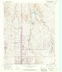
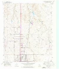
Other maps of this area

1934 · Cliffside
USGS Topo · 1:62,500

1936 · Cliffside
USGS Topo · 1:62,500

1953 · Chunky
USGS Topo · 1:24,000

1953 · Puente
USGS Topo · 1:24,000

1953 · Mayer
USGS Topo · 1:24,000

1953 · Cliffside
USGS Topo · 1:24,000

1953 · Berry Sand Draw
USGS Topo · 1:24,000

1954 · Amarillo
USGS Topo · 1:250,000

1956 · Amarillo East
USGS Topo · 1:24,000

1956 · Pullman
USGS Topo · 1:24,000