Loading...
Loading map...2023 Map of Pleasantville
USGS Topo · Published 2023About this map
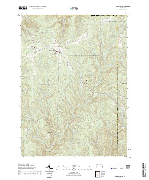
Pleasantville serves as the primary hub of this landscape where Venango, Crawford, and Forest counties meet. The terrain is deeply carved by the Pithole Creek drainage system, which includes numerous named tributaries like West Pithole Creek and Allender Run. This area is characterized by its rural settlement pattern, anchored by small clusters at Neilltown, Shamburg, and the site of Pithole City.
Find a feature on this map
84 named features on this map. Tap any name to fly to it.
Don’t see what you’re looking for? This feature index may not catch every label — zoom into the map to look around manually.
Map Details
Date Portrayed2023
Date Published2023
PublisherU.S. Geological Survey
Map TypeTopographic
Scale1:24000
Physical Dimensions24 x 29 inches
Editions of this 2023 Pleasantville Map
This is the sole edition of this map. No revisions or reprints were ever made.
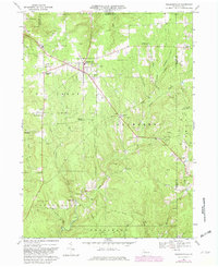
Historical Maps of Neilltown Through Time
Featured Locations
- Cornplanter Township, PA
- President Township, PA
- Allegheny Township, PA
- Oil Creek Township, PA
- Pleasantville, PA
Source Details
SourceU.S. Geological Survey
CopyrightPublic Domain