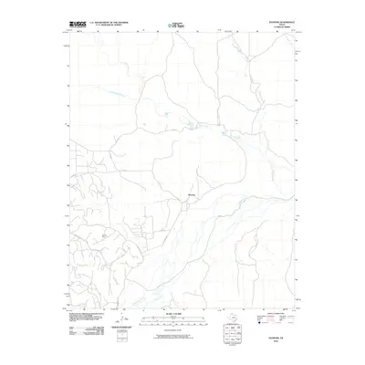
2010 Map of Plemons
USGS Topo · Published 2010About this map
The settlement of Plemons anchors this survey of the Texas Panhandle, positioned near the northern banks of the Canadian River. The landscape is defined by an intricate network of drainage systems, including Smokehouse Creek and Bugby Creek to the north, and Dixon Creek and Bear Creek flowing from the south. This era shows the deep intersection of natural waterways and industrial activity, most notably represented by the Dial Oil Field in the southwestern portion of the quadrangle.
Find a feature on this map
14 named features on this map. Tap any name to fly to it.
Don’t see what you’re looking for? This feature index may not catch every label — zoom into the map to look around manually.
Map Details
Editions of this 2010 Plemons Map
This is the sole edition of this map. No revisions or reprints were ever made.
Other maps of this area

1953 · Plemons
USGS Topo · 1:24,000

1953 · Stinnett
USGS Topo · 1:24,000

1953 · Stinnett Station
USGS Topo · 1:24,000

1953 · Pringle
USGS Topo · 1:24,000

1953 · Phillips
USGS Topo · 1:24,000

1953 · Borger
USGS Topo · 1:24,000

1954 · Amarillo
USGS Topo · 1:250,000

1958 · Amarillo
USGS Topo · 1:250,000

1970 · Borger
USGS Topo · 1:24,000

1970 · Phillips
USGS Topo · 1:24,000