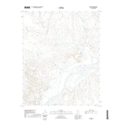
2019 Map of Plemons
USGS Topo · Published 2019About this map
The Canadian River dominates the central landscape of this northern Texas panhandle quadrangle, carving a wide path through the dissected plains of Hutchinson County. Evidence of the early 20th-century settlement at Plemons remains visible through the Plemons Cem and the namesake Plemons Rd, which provide important touchpoints for family historians and local researchers. The surrounding terrain is defined by a dense network of drainage systems, including Bugby Cr, Smokehouse Cr, and Moore Cr, which flow through the draws and breaks typical of this region. Local transportation is represented by a series of rural routes such as Co RD Q and Co RD R, illustrating the contemporary ranching and agricultural infrastructure that replaced the once-thriving townsite of Plemons.
Find a feature on this map
14 named features on this map. Tap any name to fly to it.
Don’t see what you’re looking for? This feature index may not catch every label — zoom into the map to look around manually.
Map Details
Editions of this 2019 Plemons Map
This is the sole edition of this map. No revisions or reprints were ever made.
Other maps of this area

1953 · Plemons
USGS Topo · 1:24,000

1953 · Stinnett
USGS Topo · 1:24,000

1953 · Stinnett Station
USGS Topo · 1:24,000

1953 · Pringle
USGS Topo · 1:24,000

1953 · Phillips
USGS Topo · 1:24,000

1953 · Borger
USGS Topo · 1:24,000

1954 · Amarillo
USGS Topo · 1:250,000

1958 · Amarillo
USGS Topo · 1:250,000

1970 · Borger
USGS Topo · 1:24,000

1970 · Phillips
USGS Topo · 1:24,000